Transport Functions
Multimodal
Hub Profile
Place type
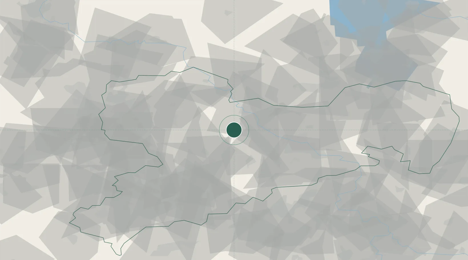
Populated place
Region
Saxony
Time zone
Europe/Berlin
Elevation
221 m
Location
Nearby Logistics Neighbours
Cities
- 1Lommatzsch7 km
- 2Choren9 km
- 3Zehren13 km
- 4Tiefenbach (Sachsen)13 km
- 5Nossen14 km
Ports
- 1Szczecin266 km
- 2Police282 km
- 3Swinoujscie314 km
- 4Wolgast323 km
- 5Wismar326 km
Airports
- 1Dresden Airport39 km
- 2Leipzig–Altenburg Airport54 km
- 3Holzdorf Air Base67 km
- 4Leipzig/Halle Airport74 km
- 5Karlovy Vary Airport109 km
Trade Zones
DatabookThe Record of Consolidated Knowledge
Germany beyond logistics?