Transport Functions
Port
Multimodal
Hub Profile
Place type
Populated place
Region
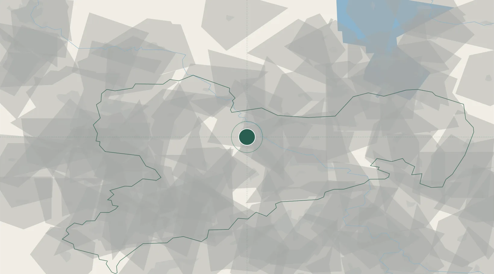
Saxony
Population
5,999
Time zone
Europe/Berlin
Elevation
172 m
Location
Nearby Logistics Neighbours
Ports
- 1Szczecin261 km
- 2Police277 km
- 3Swinoujscie309 km
- 4Wolgast319 km
- 5Wismar325 km
Airports
- 1Dresden Airport33 km
- 2Leipzig–Altenburg Airport61 km
- 3Holzdorf Air Base64 km
- 4Leipzig/Halle Airport78 km
- 5Karlovy Vary Airport114 km
Trade Zones
DatabookThe Record of Consolidated Knowledge
Germany beyond logistics?