Transport Functions
Multimodal
Hub Profile
Place type
Populated place
Region
Saxony
Time zone
Europe/Berlin
Elevation
231 m
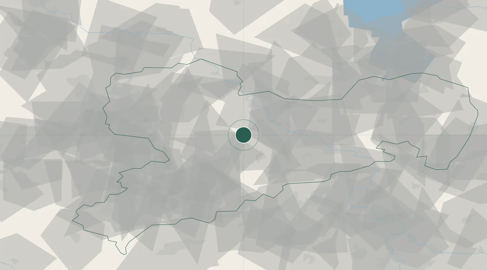
Location
Nearby Logistics Neighbours
Cities
- 1Tiefenbach (Sachsen)5 km
- 2Nossen6 km
- 3Meila9 km
- 4Drossdorf10 km
- 5Gebersbach11 km
Ports
- 1Szczecin275 km
- 2Police291 km
- 3Swinoujscie323 km
- 4Wolgast332 km
- 5Wismar335 km
Airports
- 1Dresden Airport39 km
- 2Leipzig–Altenburg Airport51 km
- 3Holzdorf Air Base76 km
- 4Leipzig/Halle Airport78 km
- 5Karlovy Vary Airport100 km
Trade Zones
DatabookThe Record of Consolidated Knowledge
Germany beyond logistics?