Transport Functions
Road
Multimodal
Hub Profile
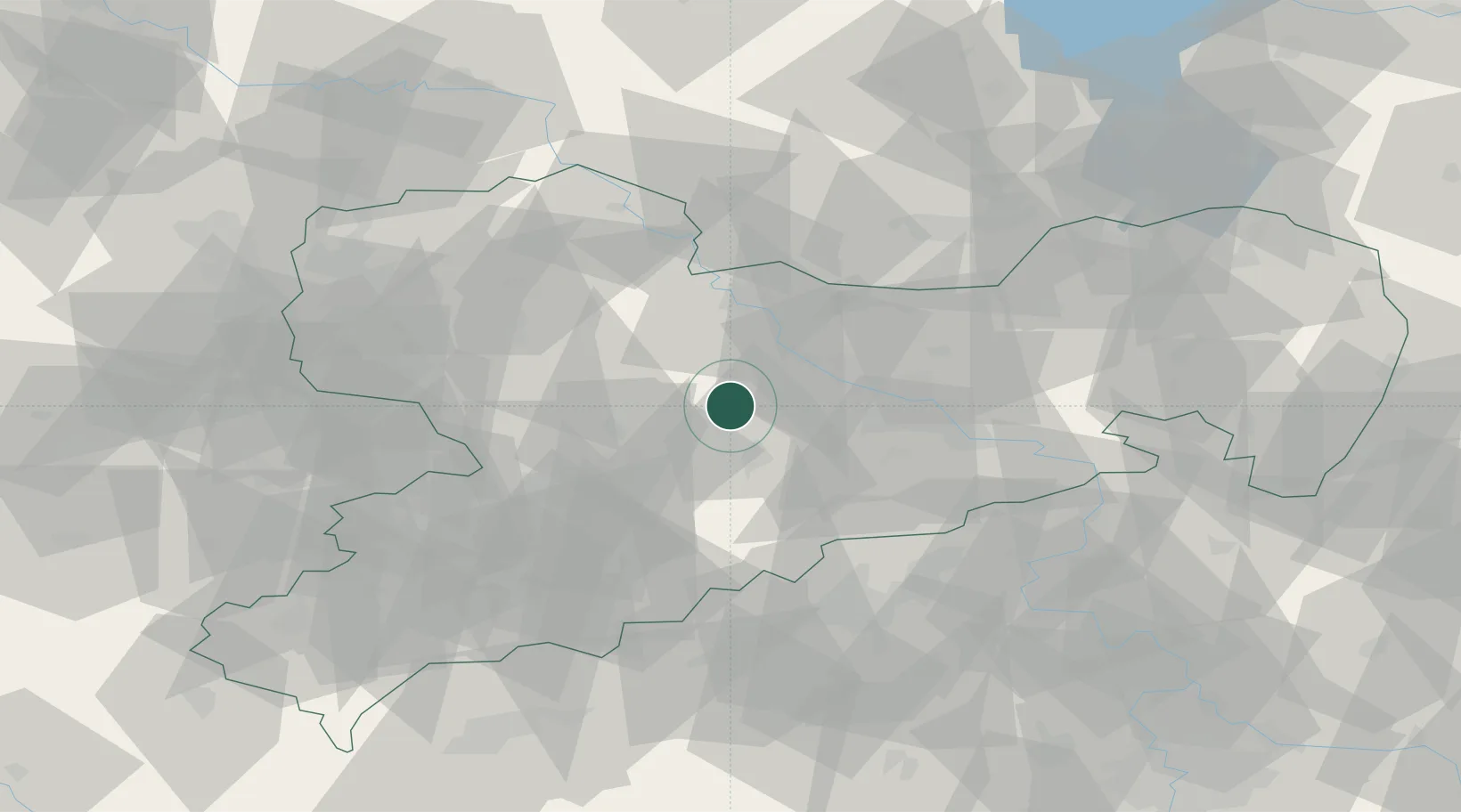
Place type
Populated place
Region
Saxony
Population
7,588
Time zone
Europe/Berlin
Elevation
255 m
Location
Nearby Logistics Neighbours
Cities
- 1Choren6 km
- 2Grossvoigtsberg7 km
- 3Tiefenbach (Sachsen)8 km
- 4Grossschirma9 km
- 5Drossdorf10 km
Ports
- 1Szczecin277 km
- 2Police293 km
- 3Swinoujscie326 km
- 4Wolgast335 km
- 5Wismar340 km
Airports
- 1Dresden Airport35 km
- 2Leipzig–Altenburg Airport55 km
- 3Holzdorf Air Base80 km
- 4Leipzig/Halle Airport84 km
- 5Karlovy Vary Airport98 km
Trade Zones
DatabookThe Record of Consolidated Knowledge
Germany beyond logistics?