Transport Functions
Port
Road
Hub Profile
Place type
Populated place
Region
Saxony
Time zone
Europe/Berlin
Elevation
114 m
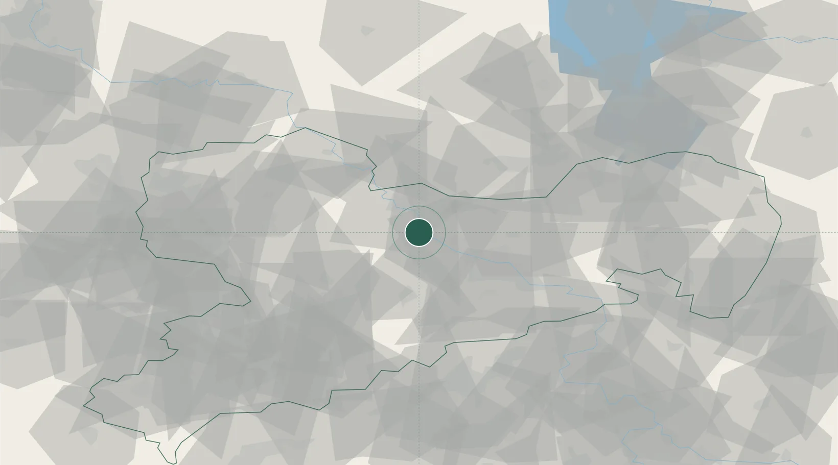
Location
Nearby Logistics Neighbours
Cities
- 1Nieschütz4 km
- 2Diesbar6 km
- 3Lommatzsch7 km
- 4Meissen8 km
- 5Niederau (Meisharpen)10 km
Ports
- 1Szczecin259 km
- 2Police275 km
- 3Swinoujscie308 km
- 4Wolgast318 km
- 5Wismar327 km
Airports
- 1Dresden Airport27 km
- 2Holzdorf Air Base65 km
- 3Leipzig–Altenburg Airport67 km
- 4Leipzig/Halle Airport85 km
- 5Rothenburg/Görlitz Airfield109 km
Trade Zones
DatabookThe Record of Consolidated Knowledge
Germany beyond logistics?