Transport Functions
Multimodal
Hub Profile
Region
SN
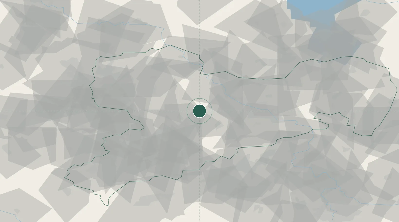
Location
Nearby Logistics Neighbours
Cities
- 1Choren5 km
- 2Drossdorf6 km
- 3Gebersbach8 km
- 4Nossen8 km
- 5Grossvoigtsberg11 km
Ports
- 1Szczecin280 km
- 2Police296 km
- 3Swinoujscie327 km
- 4Wolgast336 km
- 5Wismar337 km
Airports
- 1Dresden Airport43 km
- 2Leipzig–Altenburg Airport47 km
- 3Leipzig/Halle Airport77 km
- 4Holzdorf Air Base80 km
- 5Karlovy Vary Airport96 km
Trade Zones
DatabookThe Record of Consolidated Knowledge
Germany beyond logistics?