Transport Functions
Multimodal
Hub Profile
Place type
Local administrative seat
Region
Rheinland-Pfalz
Population
1,202
Time zone
Europe/Berlin
Elevation
413 m
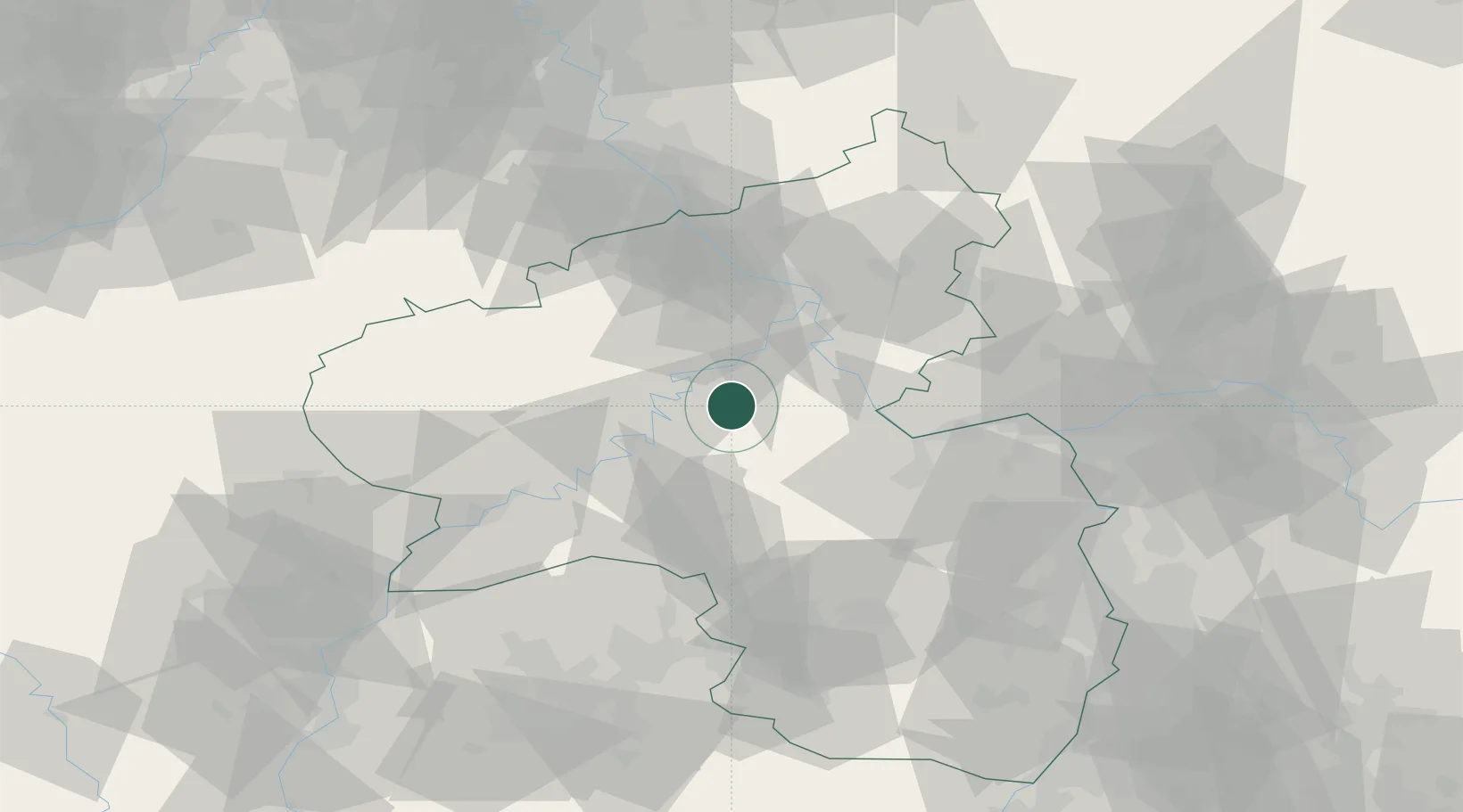
Location
Nearby Logistics Neighbours
Cities
- 1Bell5 km
- 2Lahr6 km
- 3Wüschheim9 km
- 4Senheim11 km
- 5Treis-Karden14 km
Airports
- 1Frankfurt-Hahn Airport15 km
- 2Büchel Air Base24 km
- 3Spangdahlem Air Base48 km
- 4Mainz-Finthen Airfield58 km
- 5Wiesbaden Army Airfield70 km
Trade Zones
- 1Luxembourg Free Port94 km
- 2ZFU La Cité Behren-lès-Forbach105 km
- 3Rheinische Revier SWZ116 km
- 4ZFU Woippy-Metz134 km
- 5ZFU Metz137 km
DatabookThe Record of Consolidated Knowledge
Germany beyond logistics?