UN/LOCODE hub · Germany
DEEHM

Senheim

50.0833°, 7.2000°
606
Population
2
Transport functions

Transport Functions

Port
Road
UN/LOCODE

Hub Profile

Place type
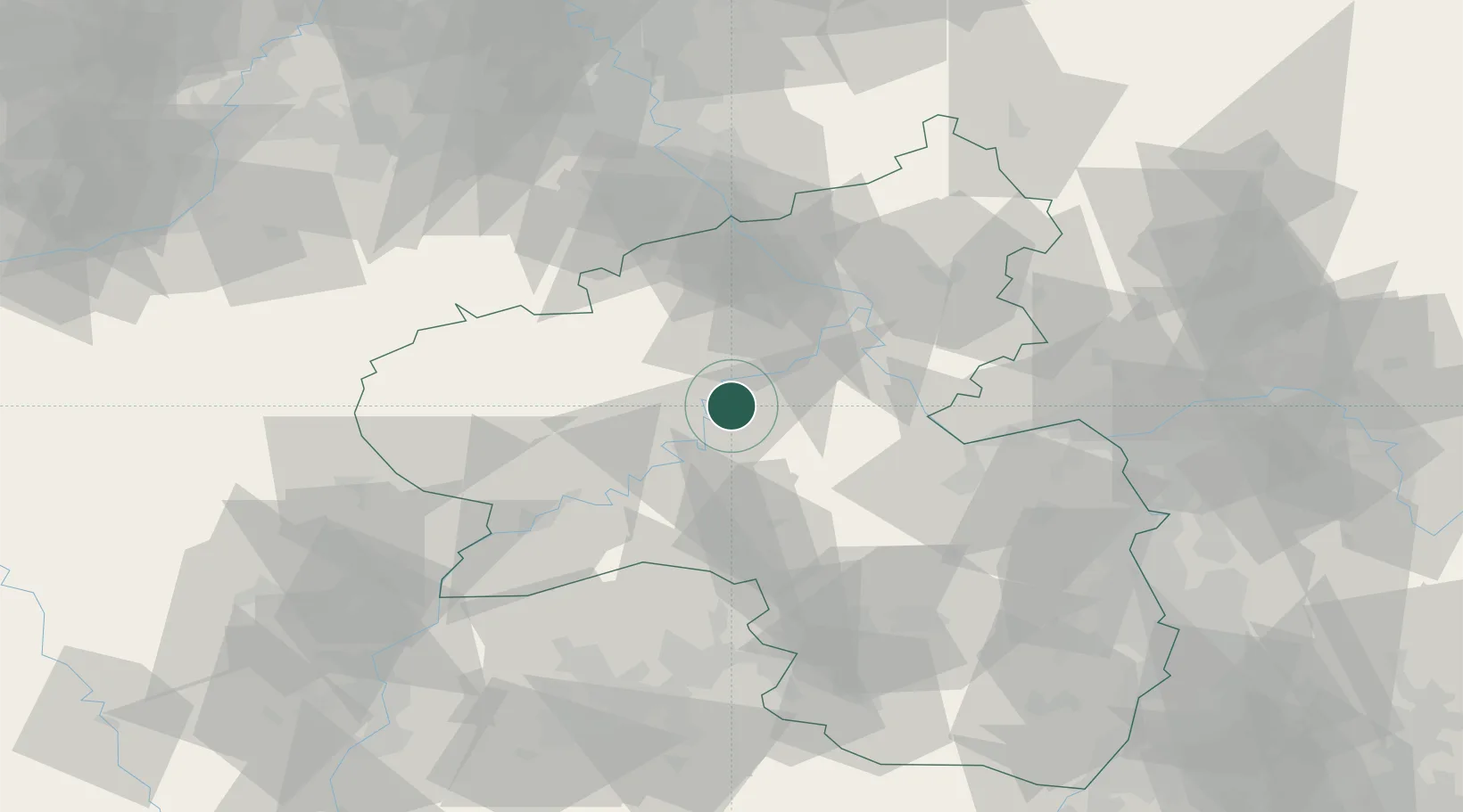
Local administrative seat
GeoNames
Region
Rheinland-Pfalz
GeoNames
Population
606
GeoNames
Time zone
Europe/Berlin
GeoNames
Elevation
293 m
GeoNames

Location

Location of DEEHM
Natural Earth 10m (public domain) · Rheinland-Pfalz · DEEHM · 50.08, 7.20GoogleOSMYandex

Nearby Logistics Neighbours

Cities
  1. 1Neef5 km
  2. 2Alf7 km
  3. 3Kaimt8 km
  4. 4Mastershausen11 km
  5. 5Lahr13 km
Nearest neighbours — logibook spatial index (haversine) over the source coordinates
Ports
  1. 1Bruxelles220 km
  2. 2Antwerpen234 km
  3. 3Dordrecht263 km
  4. 4Hansweert272 km
  5. 5Rotterdam277 km
Nearest neighbours — logibook spatial index (haversine) over the source coordinates
Airports
  1. 1Büchel Air Base14 km
  2. 2Frankfurt-Hahn Airport16 km
  3. 3Spangdahlem Air Base38 km
  4. 4Mainz-Finthen Airfield69 km
  5. 5Ramstein Air Base77 km
Nearest neighbours — logibook spatial index (haversine) over the source coordinates
Trade Zones
  1. 1Luxembourg Free Port86 km
  2. 2ZFU La Cité Behren-lès-Forbach104 km
  3. 3Rheinische Revier SWZ109 km
  4. 4ZFU Woippy-Metz128 km
  5. 5ZFU Metz132 km
Nearest neighbours — logibook spatial index (haversine) over the source coordinates
DatabookThe Record of Consolidated Knowledge
Germany beyond logistics?
Browse databook

All Sources

LocationsUN/LOCODE
UN/LOCODE — free
LocationsGeoNames
CC BY 4.0
Portsthe NGA World Port Index
Public domain (US gov)
AirportsOurAirports
Public domain
Trade Zonesthe World Bank SEZ database
CC BY 4.0
Trade ZonesOpen Zone Map
CC BY
← Germany locations