Transport Functions
Multimodal
Hub Profile
Place type
Local administrative seat
Region
Rheinland-Pfalz
Population
328
Time zone
Europe/Berlin
Elevation
456 m
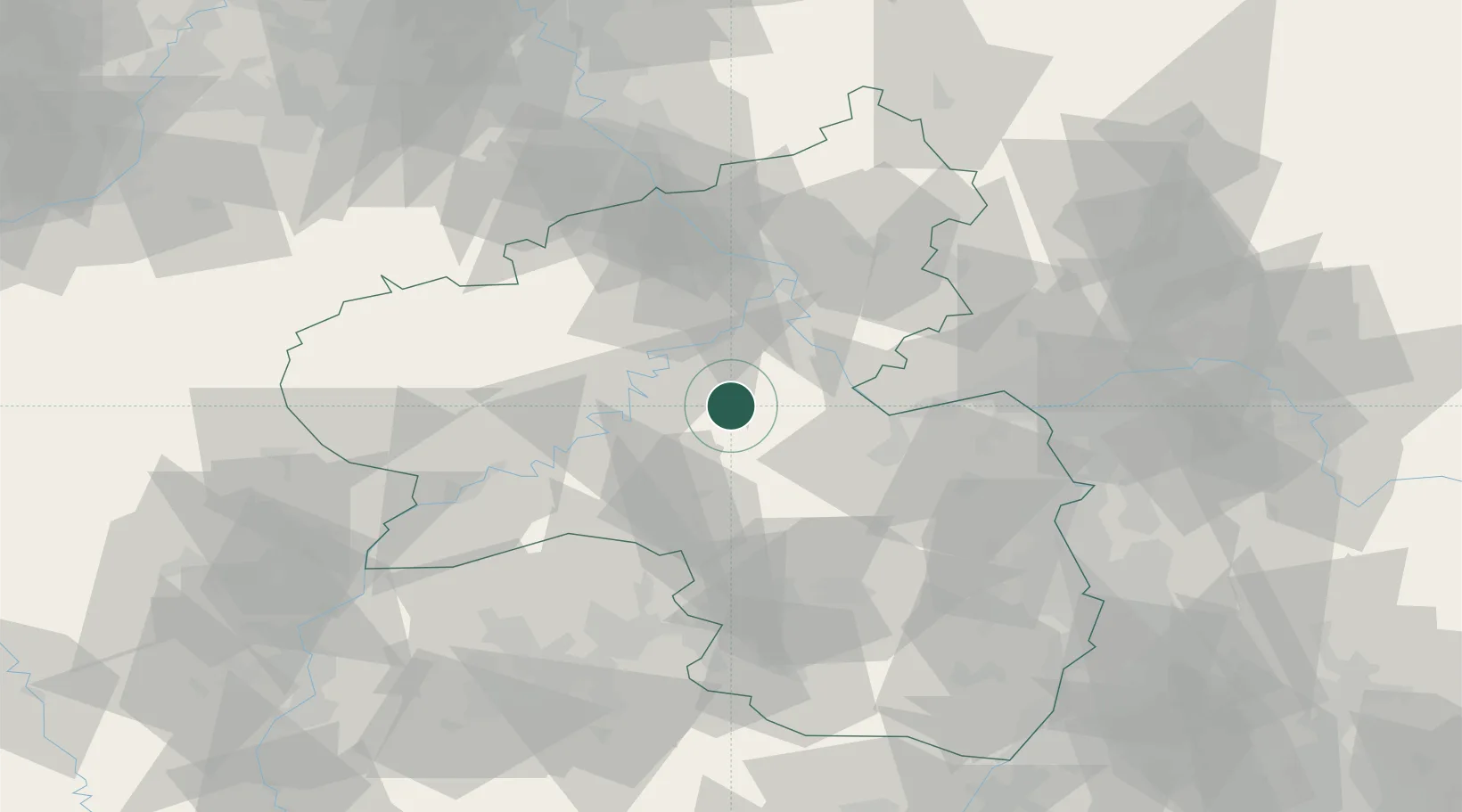
Location
Nearby Logistics Neighbours
Cities
- 1Bell7 km
- 2Kirchberg8 km
- 3Simmern/Hunsrück8 km
- 4Niederkumbd9 km
- 5Mastershausen9 km
Airports
- 1Frankfurt-Hahn Airport13 km
- 2Büchel Air Base32 km
- 3Spangdahlem Air Base51 km
- 4Mainz-Finthen Airfield52 km
- 5Ramstein Air Base64 km
Trade Zones
- 1Luxembourg Free Port95 km
- 2ZFU La Cité Behren-lès-Forbach99 km
- 3Rheinische Revier SWZ125 km
- 4ZFU Woippy-Metz131 km
- 5ZFU Metz135 km
DatabookThe Record of Consolidated Knowledge
Germany beyond logistics?