Transport Functions
Multimodal
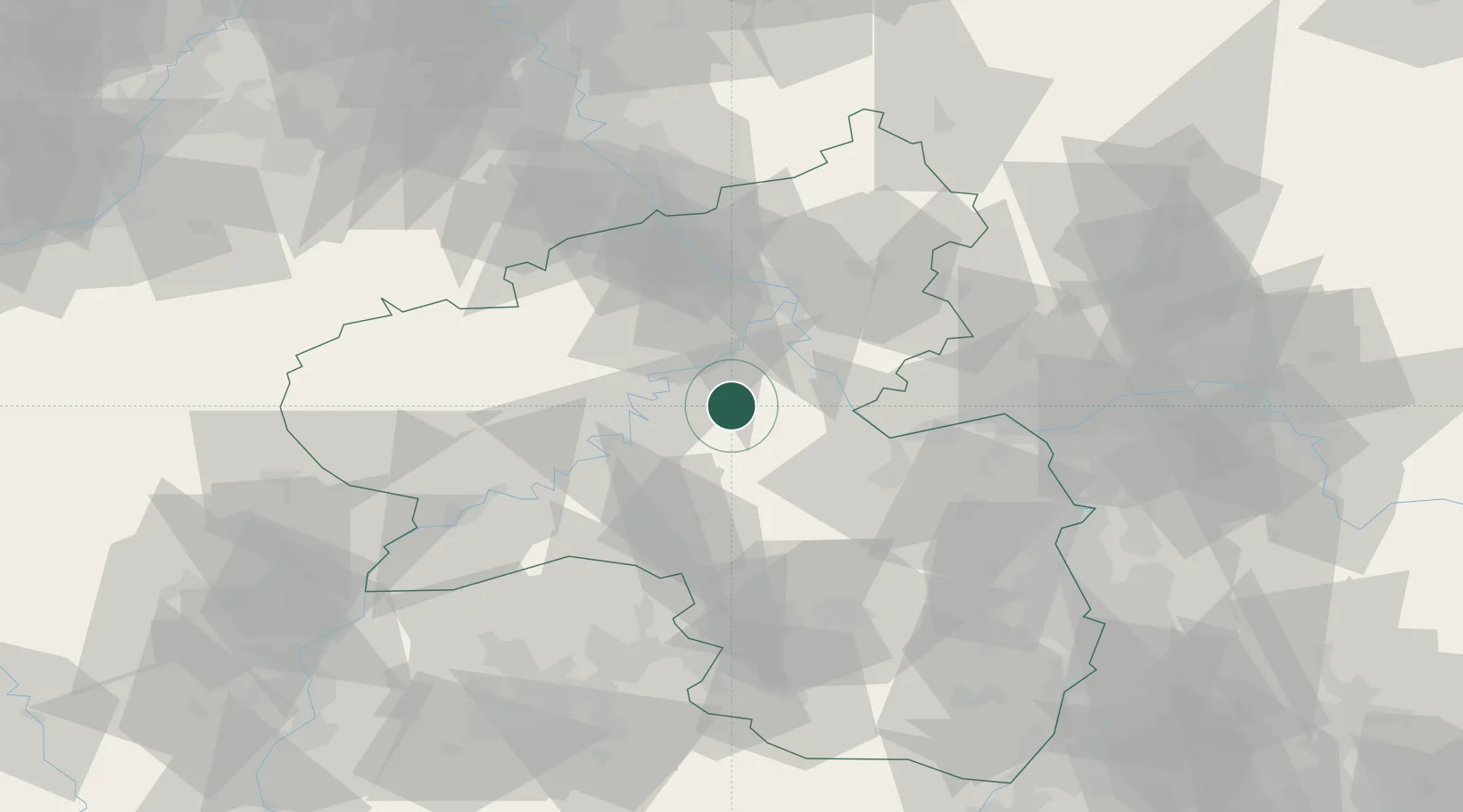
Hub Profile
Place type
Populated place
Region
Rheinland-Pfalz
Population
1,526
Time zone
Europe/Berlin
Elevation
434 m
Location
Nearby Logistics Neighbours
Cities
- 1Mastershausen5 km
- 2Lahr7 km
- 3Wüschheim7 km
- 4Niederkumbd10 km
- 5Simmern/Hunsrück13 km
Airports
- 1Frankfurt-Hahn Airport17 km
- 2Büchel Air Base28 km
- 3Spangdahlem Air Base52 km
- 4Mainz-Finthen Airfield53 km
- 5Wiesbaden Army Airfield65 km
Trade Zones
- 1Luxembourg Free Port98 km
- 2ZFU La Cité Behren-lès-Forbach106 km
- 3Rheinische Revier SWZ119 km
- 4ZFU Woippy-Metz137 km
- 5ZFU Metz140 km
DatabookThe Record of Consolidated Knowledge
Germany beyond logistics?