Transport Functions
Rail
Road
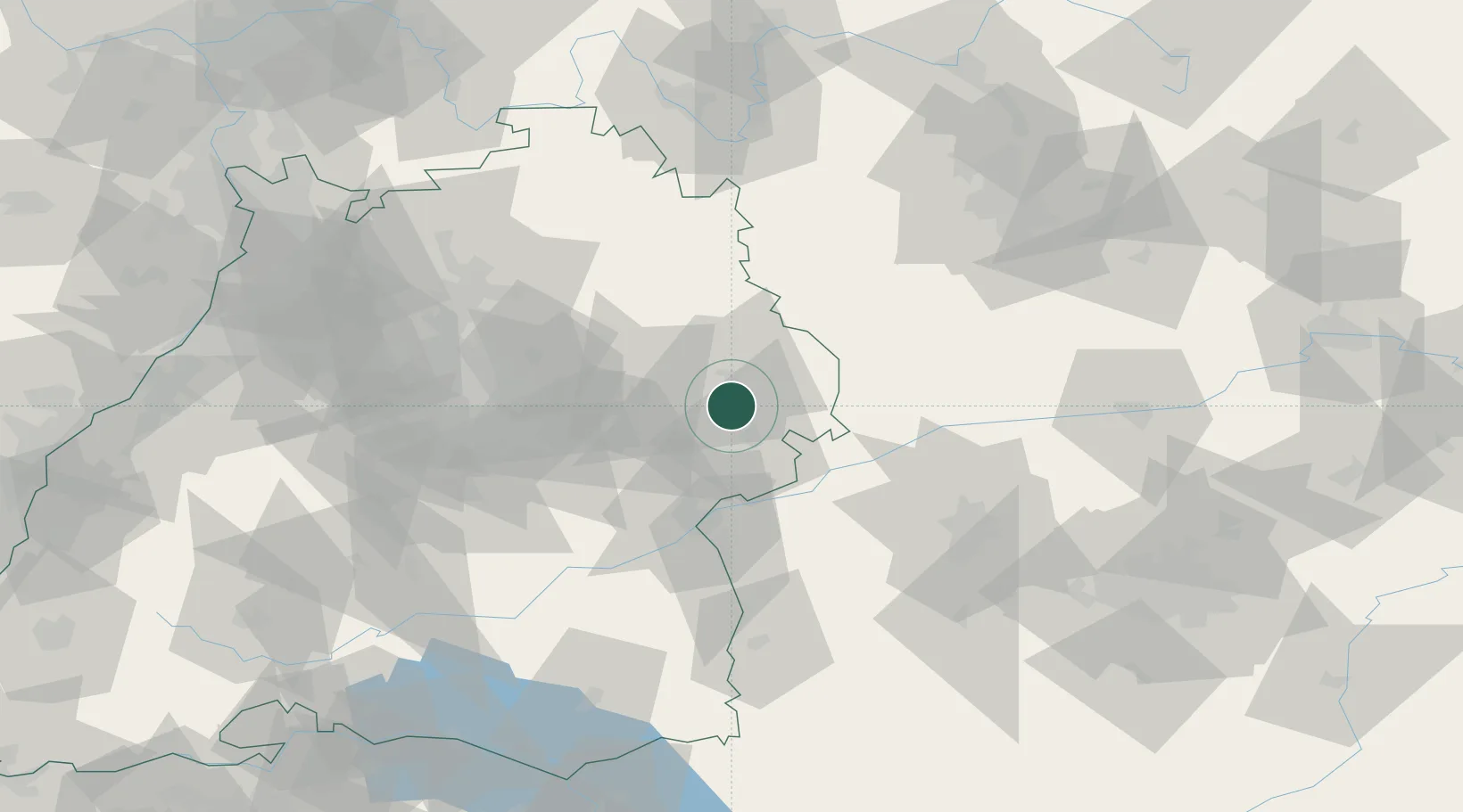
Hub Profile
Place type
Populated place
Region
Baden-Wurttemberg
Population
8,373
Time zone
Europe/Berlin
Elevation
495 m
Location
Nearby Logistics Neighbours
Cities
- 1Ebnat6 km
- 2Mögglingen10 km
- 3Hüttlingen11 km
- 4Heidenheim an der Brenz12 km
- 5Steinweiler13 km
Ports
- 1Nogaro408 km
- 2Porto Di Lido-Venezia414 km
- 3Grado420 km
- 4Monfalcone423 km
- 5Porto Di Chioggia429 km
Airports
- 1Adolf Würth Airport44 km
- 2Laupheim Air Base64 km
- 3Stuttgart Airport65 km
- 4Niederstetten Army Air Base68 km
- 5Augsburg Airport73 km
Trade Zones
- 1ZFU Neuhof174 km
- 2ZFU Hautepierre178 km
- 3Freeport of Deggendorf205 km
- 4ZFU Mulhouse235 km
- 5ZFU La Cité Behren-lès-Forbach235 km
DatabookThe Record of Consolidated Knowledge
Germany beyond logistics?