Transport Functions
Road
Multimodal
Hub Profile
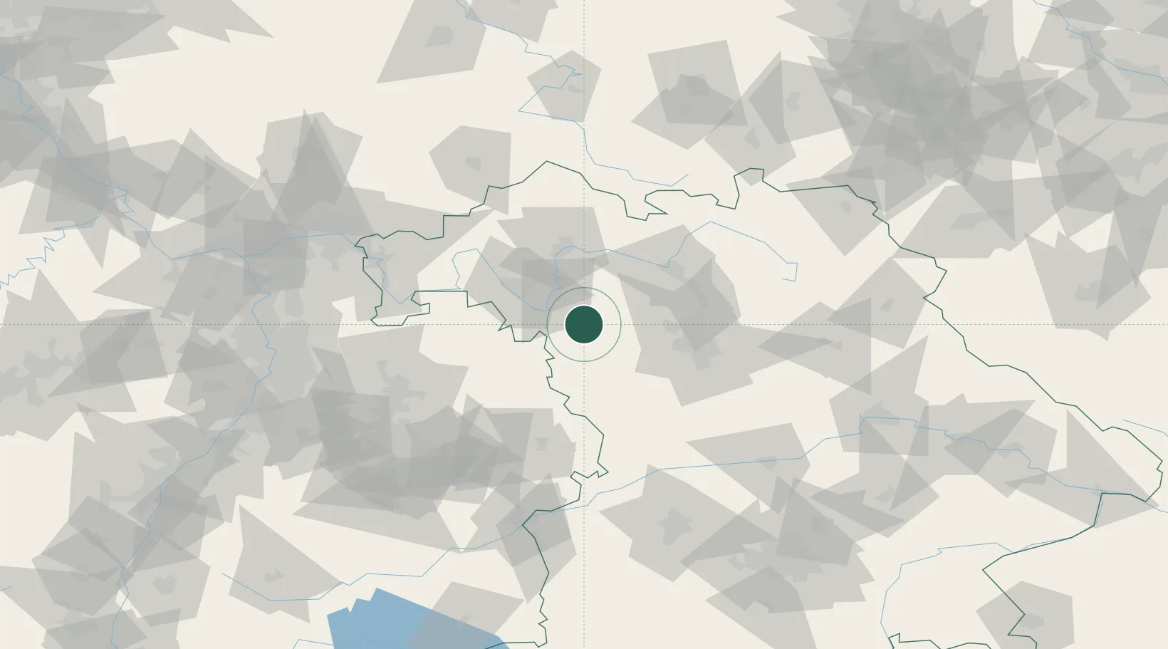
Place type
Populated place
Region
Bavaria
Population
1,182
Time zone
Europe/Berlin
Elevation
330 m
Location
Nearby Logistics Neighbours
Cities
- 1Gollhofen11 km
- 2Ipsheim11 km
- 3Iphofen12 km
- 4Dietersheim13 km
- 5Marktbergel15 km
Airports
- 1Niederstetten Army Air Base36 km
- 2Nuremberg Airport53 km
- 3Bamberg-Breitenau Airfield55 km
- 4Adolf Würth Airport66 km
- 5Bayreuth Airport103 km
Trade Zones
- 1Freeport of Deggendorf203 km
- 2ZFU Neuhof221 km
- 3ZFU Hautepierre223 km
- 4Podbořany Industrial Zone230 km
- 5Žatec - Triangle Strategic Industrial Zone244 km
DatabookThe Record of Consolidated Knowledge
Germany beyond logistics?