Transport Functions
Road
Multimodal
Hub Profile
Place type
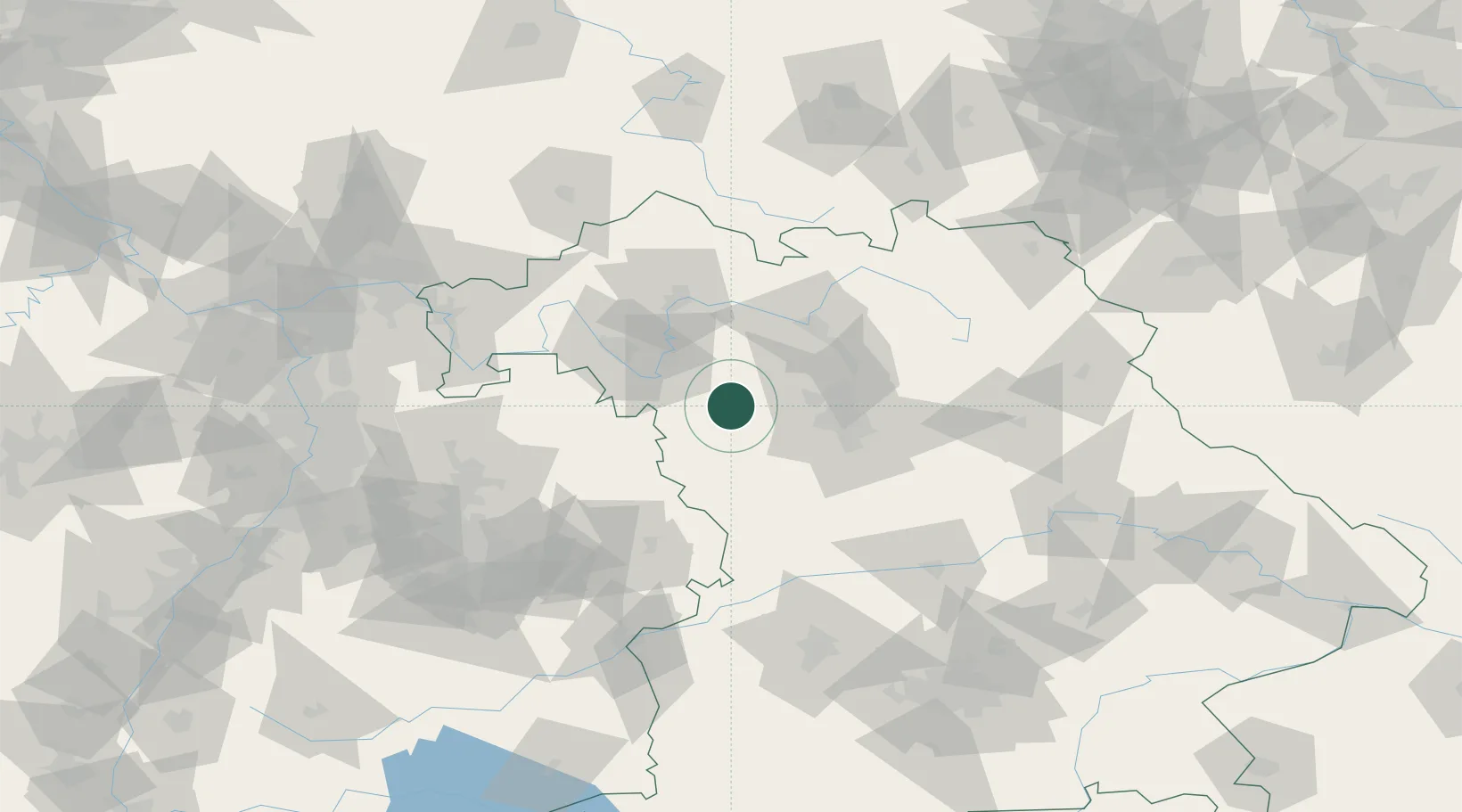
Populated place
Region
Bavaria
Population
2,162
Time zone
Europe/Berlin
Elevation
307 m
Location
Nearby Logistics Neighbours
Cities
- 1Dietersheim5 km
- 2Markt Nordheim11 km
- 3Marktbergel13 km
- 4Dachsbach20 km
- 5Gollhofen21 km
Airports
- 1Niederstetten Army Air Base41 km
- 2Nuremberg Airport43 km
- 3Bamberg-Breitenau Airfield53 km
- 4Adolf Würth Airport69 km
- 5Bayreuth Airport97 km
Trade Zones
- 1Freeport of Deggendorf192 km
- 2Podbořany Industrial Zone223 km
- 3ZFU Neuhof227 km
- 4ZFU Hautepierre229 km
- 5Žatec - Triangle Strategic Industrial Zone238 km
DatabookThe Record of Consolidated Knowledge
Germany beyond logistics?