Transport Functions
Multimodal
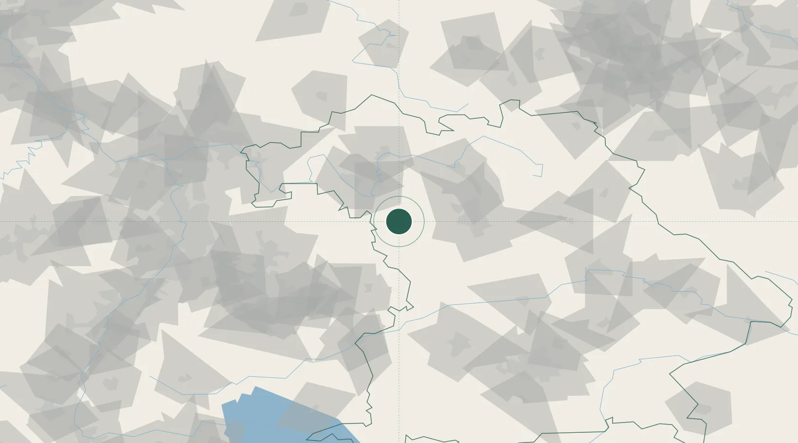
Hub Profile
Place type
Populated place
Region
Bavaria
Population
1,687
Time zone
Europe/Berlin
Elevation
364 m
Location
Nearby Logistics Neighbours
Cities
- 1Ipsheim13 km
- 2Markt Nordheim15 km
- 3Gebsattel16 km
- 4Lehrberg17 km
- 5Leutershausen (Ansbach)17 km
Airports
- 1Niederstetten Army Air Base30 km
- 2Nuremberg Airport52 km
- 3Adolf Würth Airport56 km
- 4Bamberg-Breitenau Airfield66 km
- 5Neuburg Air Base103 km
Trade Zones
- 1Freeport of Deggendorf196 km
- 2ZFU Neuhof215 km
- 3ZFU Hautepierre217 km
- 4Podbořany Industrial Zone234 km
- 5Žatec - Triangle Strategic Industrial Zone249 km
DatabookThe Record of Consolidated Knowledge
Germany beyond logistics?