Transport Functions
Multimodal
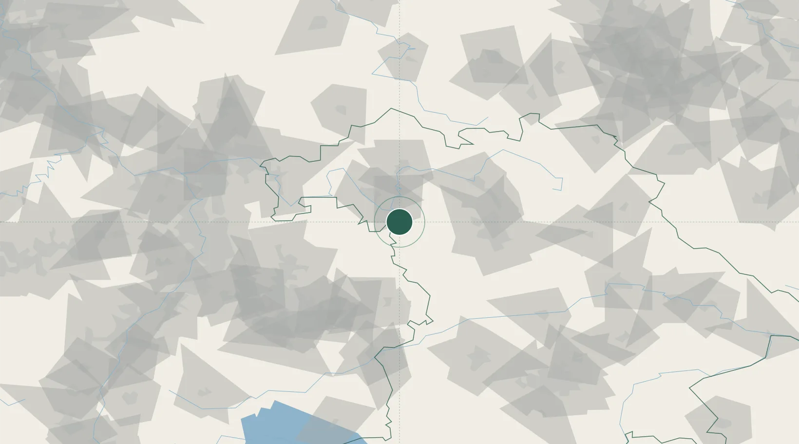
Hub Profile
Place type
Local administrative seat
Region
Bavaria
Population
870
Time zone
Europe/Berlin
Elevation
315 m
Location
Nearby Logistics Neighbours
Cities
- 1Markt Nordheim11 km
- 2Ochsenfurt14 km
- 3Iphofen14 km
- 4Mainbernheim15 km
- 5Gaukönigshofen16 km
Airports
- 1Niederstetten Army Air Base26 km
- 2Adolf Würth Airport58 km
- 3Nuremberg Airport64 km
- 4Bamberg-Breitenau Airfield65 km
- 5Bayreuth Airport113 km
Trade Zones
- 1ZFU Neuhof211 km
- 2Freeport of Deggendorf212 km
- 3ZFU Hautepierre212 km
- 4Podbořany Industrial Zone241 km
- 5ZFU La Cité Behren-lès-Forbach241 km
DatabookThe Record of Consolidated Knowledge
Germany beyond logistics?