Transport Functions
Multimodal
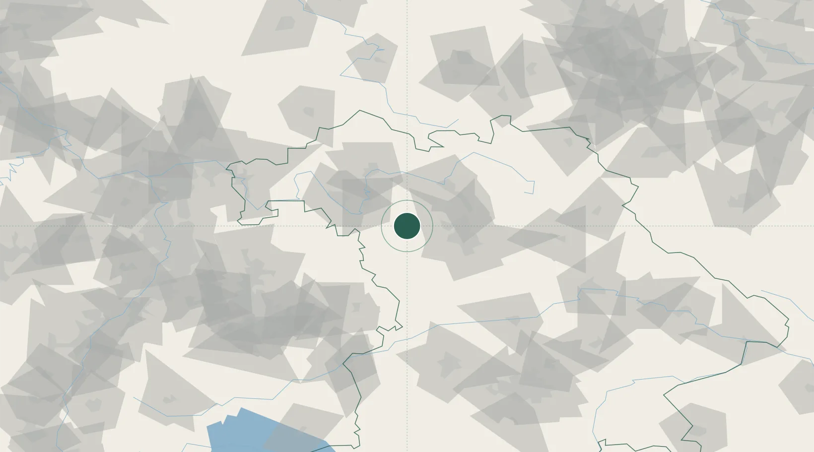
Hub Profile
Place type
Local administrative seat
Region
Bavaria
Population
2,138
Time zone
Europe/Berlin
Elevation
301 m
Location
Nearby Logistics Neighbours
Cities
- 1Ipsheim5 km
- 2Markt Nordheim13 km
- 3Dachsbach15 km
- 4Marktbergel18 km
- 5Burghaslach19 km
Airports
- 1Nuremberg Airport40 km
- 2Niederstetten Army Air Base46 km
- 3Bamberg-Breitenau Airfield48 km
- 4Adolf Würth Airport74 km
- 5Bayreuth Airport92 km
Trade Zones
- 1Freeport of Deggendorf190 km
- 2Podbořany Industrial Zone218 km
- 3ZFU Neuhof232 km
- 4Žatec - Triangle Strategic Industrial Zone233 km
- 5ZFU Hautepierre233 km
DatabookThe Record of Consolidated Knowledge
Germany beyond logistics?