Transport Functions
Rail
Road
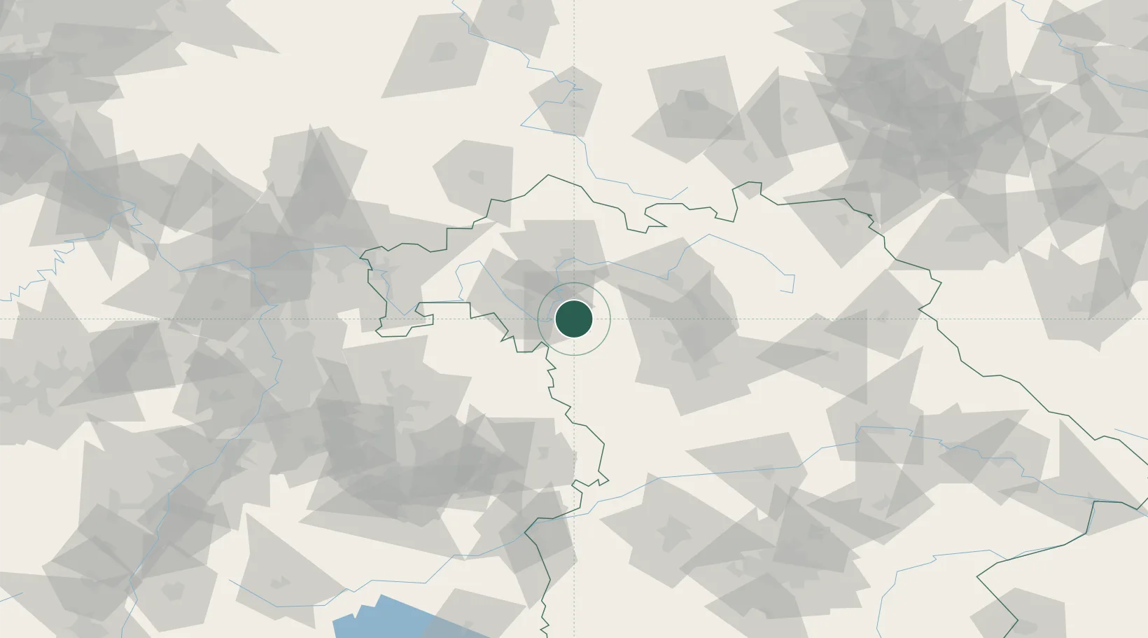
Hub Profile
Place type
Populated place
Region
Bavaria
Population
4,413
Time zone
Europe/Berlin
Elevation
256 m
Location
Nearby Logistics Neighbours
Cities
- 1Mainbernheim5 km
- 2Markt Nordheim12 km
- 3Gollhofen14 km
- 4Geiselwind16 km
- 5Ochsenfurt17 km
Airports
- 1Niederstetten Army Air Base40 km
- 2Bamberg-Breitenau Airfield52 km
- 3Nuremberg Airport61 km
- 4Adolf Würth Airport73 km
- 5Bayreuth Airport103 km
Trade Zones
- 1Freeport of Deggendorf212 km
- 2ZFU Neuhof223 km
- 3ZFU Hautepierre224 km
- 4Podbořany Industrial Zone231 km
- 5Žatec - Triangle Strategic Industrial Zone245 km
DatabookThe Record of Consolidated Knowledge
Germany beyond logistics?