UN/LOCODE hub · Germany
DELDU
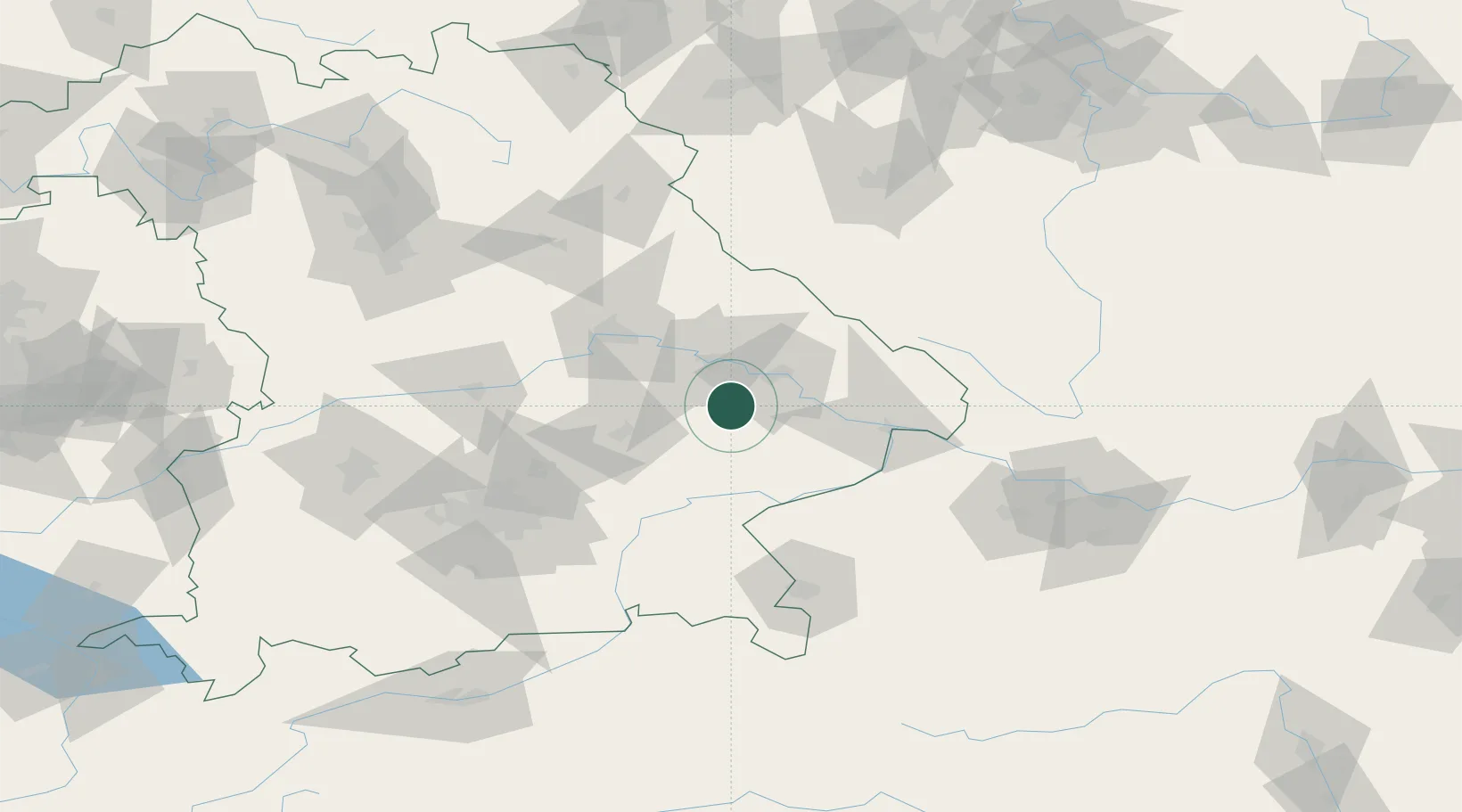
Landau an der Isar
48.6833°, 12.6833°
13,698
Population
2
Transport functions
Transport Functions
Rail
Road
Hub Profile
Place type
Populated place
Region
Bavaria
Population
13,698
Time zone
Europe/Berlin
Elevation
344 m
Location
Nearby Logistics Neighbours
Cities
- 1Mamming7 km
- 2Gottfrieding12 km
- 3Reisbach14 km
- 4Simbach14 km
- 5Strasskirchen17 km
Ports
- 1Nogaro327 km
- 2Monfalcone329 km
- 3Grado335 km
- 4Trieste347 km
- 5Muggia353 km
Airports
- 1Landshut Airfield51 km
- 2Munich Airport76 km
- 3Ingolstadt Manching Airport84 km
- 4Hohenfels Army Airfield86 km
- 5Salzburg Airport102 km
Trade Zones
DatabookThe Record of Consolidated Knowledge
Germany beyond logistics?