Transport Functions
Multimodal
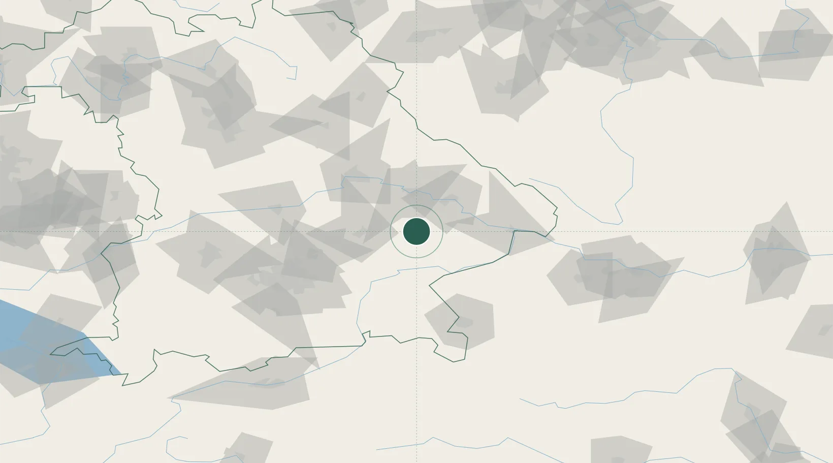
Hub Profile
Place type
Populated place
Region
Bavaria
Population
7,610
Time zone
Europe/Berlin
Elevation
406 m
Location
Nearby Logistics Neighbours
Cities
- 1Frontenhausen8 km
- 2Simbach9 km
- 3Mamming10 km
- 4Gottfrieding12 km
- 5Landau an der Isar14 km
Ports
- 1Nogaro315 km
- 2Monfalcone317 km
- 3Grado323 km
- 4Trieste335 km
- 5Muggia341 km
Airports
- 1Landshut Airfield45 km
- 2Munich Airport67 km
- 3Ingolstadt Manching Airport83 km
- 4Salzburg Airport90 km
- 5Hohenfels Army Airfield93 km
Trade Zones
DatabookThe Record of Consolidated Knowledge
Germany beyond logistics?