Transport Functions
Port
Road
Hub Profile
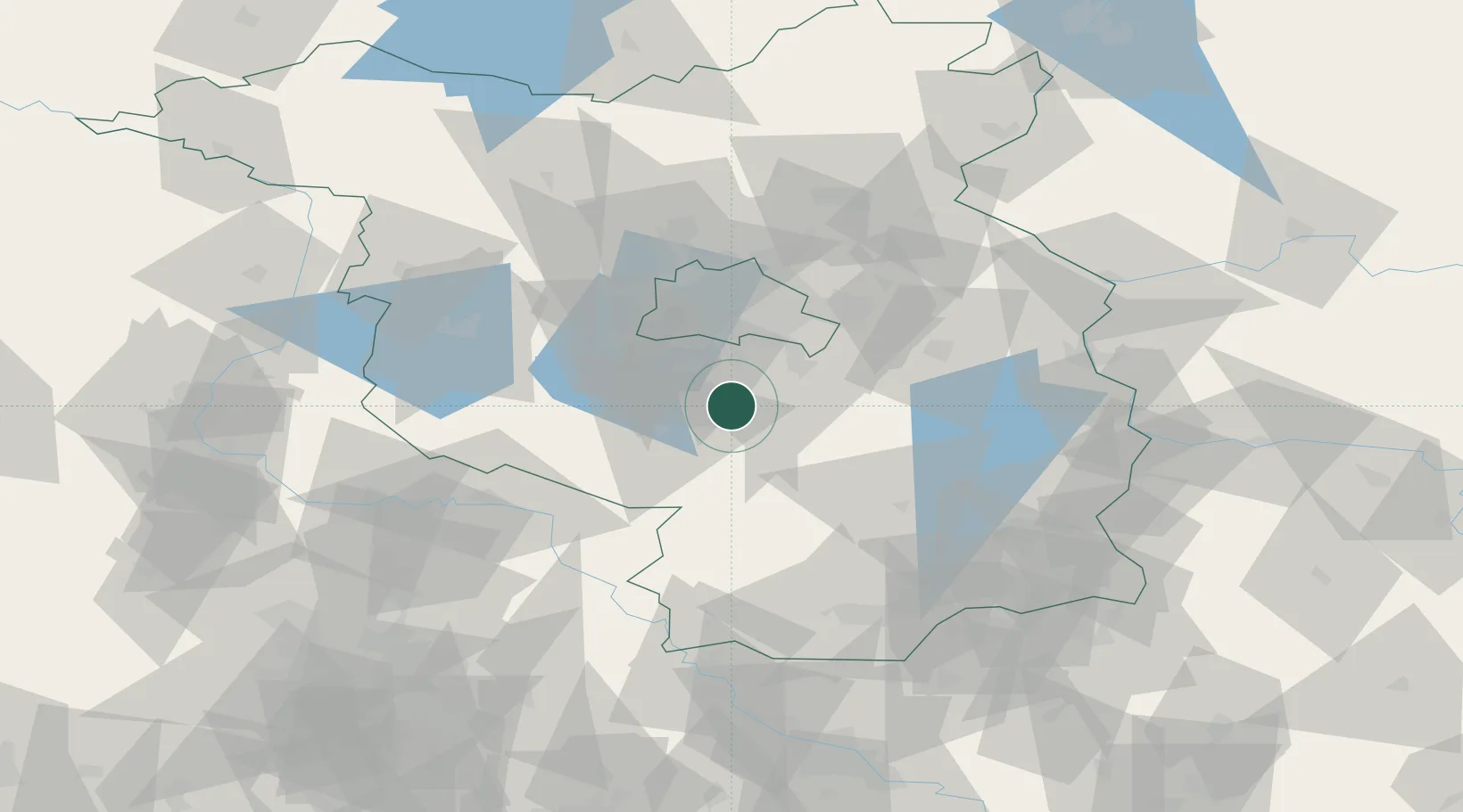
Place type
Populated place
Region
Brandenburg
Time zone
Europe/Berlin
Elevation
39 m
Location
Nearby Logistics Neighbours
Cities
- 1Dabendorf6 km
- 2Rangsdorf11 km
- 3Topchin13 km
- 4Mittenwalde13 km
- 5Trebbin13 km
Ports
- 1Szczecin157 km
- 2Police173 km
- 3Swinoujscie201 km
- 4Wolgast209 km
- 5Rostock229 km
Airports
- 1Berlin Brandenburg Airport21 km
- 2Holzdorf Air Base49 km
- 3Zerbst Airfield88 km
- 4Leipzig/Halle Airport117 km
- 5Dresden Airport119 km
Trade Zones
DatabookThe Record of Consolidated Knowledge
Germany beyond logistics?