Transport Functions
Port
Rail
Road
Hub Profile
Place type
Populated place
Region
Brandenburg
Population
9,199
Time zone
Europe/Berlin
Elevation
41 m
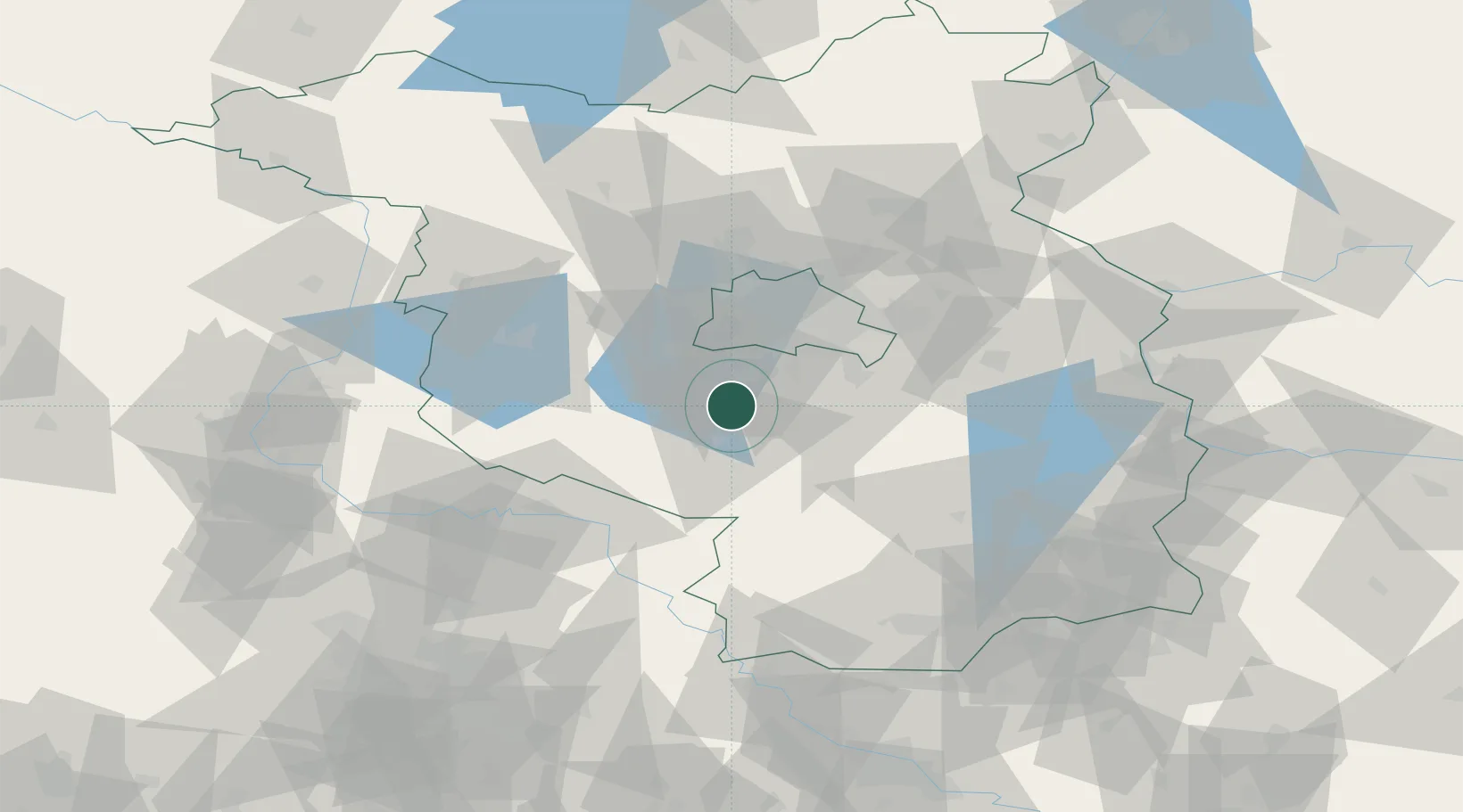
Location
Nearby Logistics Neighbours
Cities
- 1Nuthe-Urstromtal11 km
- 2Mellensee13 km
- 3Philippsthal14 km
- 4Dabendorf15 km
- 5Luckenwalde15 km
Ports
- 1Szczecin161 km
- 2Police175 km
- 3Swinoujscie202 km
- 4Wolgast207 km
- 5Wismar221 km
Airports
- 1Berlin Brandenburg Airport25 km
- 2Holzdorf Air Base50 km
- 3Zerbst Airfield77 km
- 4Leipzig/Halle Airport111 km
- 5Dresden Airport126 km
Trade Zones
- 1Kostrzyń-Słubice SEZ105 km
- 2Szczecin Duty Free Zone162 km
- 3Most - Joseph Industrial Zone195 km
- 4Swinoujscie Duty Free Zone200 km
- 5Žatec - Triangle Strategic Industrial Zone204 km
DatabookThe Record of Consolidated Knowledge
Germany beyond logistics?