Transport Functions
Rail
Road
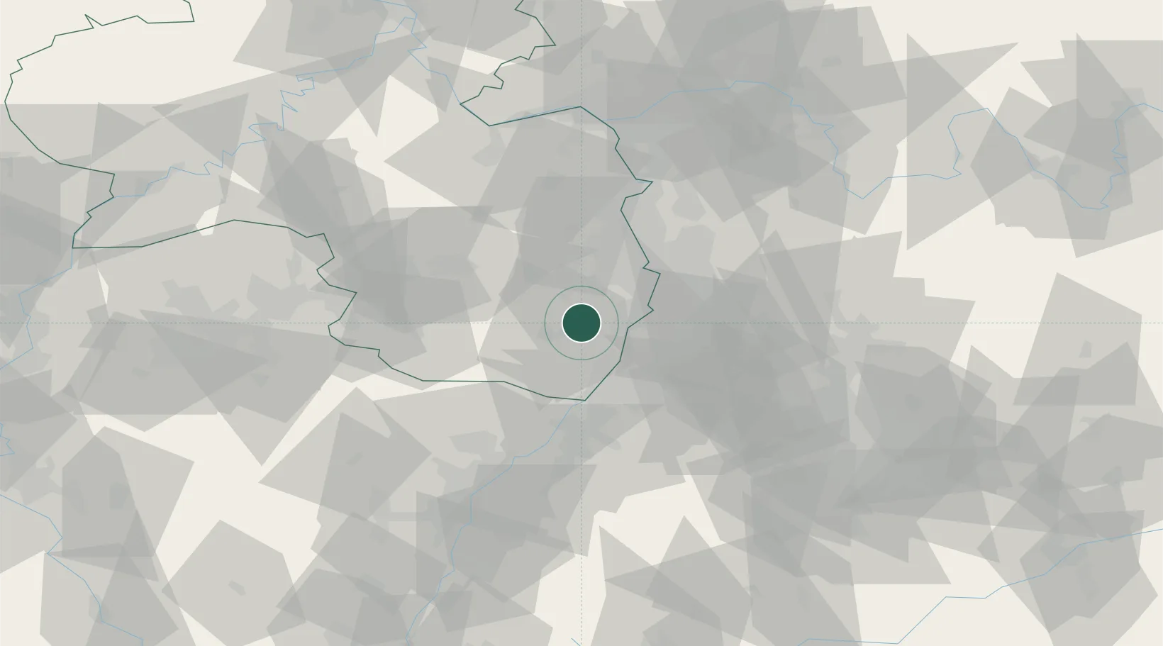
Hub Profile
Place type
Urban district
Region
Rheinland-Pfalz
Time zone
Europe/Berlin
Elevation
134 m
Location
Nearby Logistics Neighbours
Airports
- 1Mannheim-City Airport33 km
- 2Ramstein Air Base49 km
- 3Karlsruhe Baden-Baden Airport53 km
- 4Mainz-Finthen Airfield80 km
- 5Saarbrücken Airport81 km
Trade Zones
- 1ZFU Hautepierre82 km
- 2ZFU Neuhof86 km
- 3ZFU La Cité Behren-lès-Forbach94 km
- 4ZFU Metz150 km
- 5Luxembourg Free Port151 km
DatabookThe Record of Consolidated Knowledge
Germany beyond logistics?