Transport Functions
Port
Road
Hub Profile
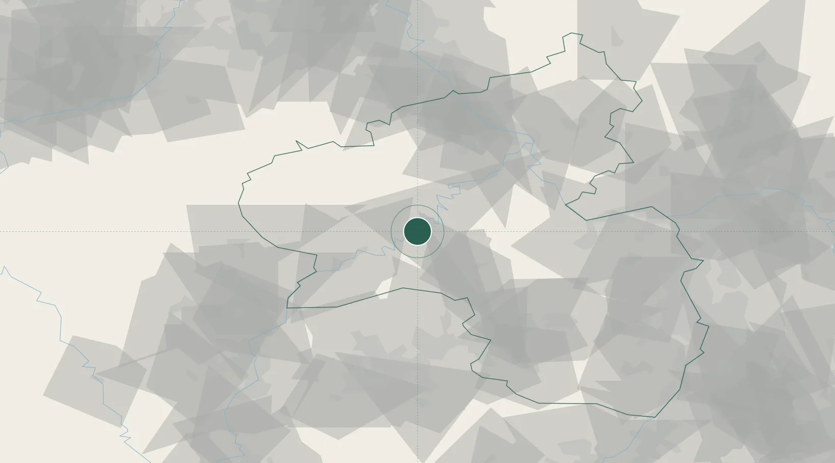
Place type
Local administrative seat
Region
Rheinland-Pfalz
Population
1,185
Time zone
Europe/Berlin
Elevation
112 m
Location
Nearby Logistics Neighbours
Cities
- 1Mülheim2 km
- 2Platten5 km
- 3Piesport8 km
- 4Minheim8 km
- 5Kinderbeuern9 km
Airports
- 1Frankfurt-Hahn Airport18 km
- 2Spangdahlem Air Base24 km
- 3Büchel Air Base29 km
- 4Luxembourg-Findel International Airport66 km
- 5Ramstein Air Base68 km
Trade Zones
- 1Luxembourg Free Port65 km
- 2ZFU La Cité Behren-lès-Forbach84 km
- 3ZFU Woippy-Metz106 km
- 4ZFU Metz109 km
- 5Rheinische Revier SWZ119 km
DatabookThe Record of Consolidated Knowledge
Germany beyond logistics?