UN/LOCODE hub · Germany
DEKBR

Kinderbeuern

50.0000°, 7.0167°
1,119
Population
3
Transport functions

Transport Functions

Port
Rail
Road
UN/LOCODE

Hub Profile

Place type
Local administrative seat
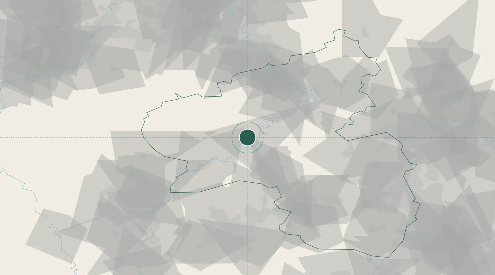
GeoNames
Region
Rheinland-Pfalz
GeoNames
Population
1,119
GeoNames
Time zone
Europe/Berlin
GeoNames
Elevation
164 m
GeoNames

Location

Location of DEKBR
Natural Earth 10m (public domain) · Rheinland-Pfalz · DEKBR · 50.00, 7.02GoogleOSMYandex

Nearby Logistics Neighbours

Cities
  1. 1Flussbach6 km
  2. 2Platten7 km
  3. 3Kövenig7 km
  4. 4Alf9 km
  5. 5Lieser9 km
Nearest neighbours — logibook spatial index (haversine) over the source coordinates
Ports
  1. 1Bruxelles212 km
  2. 2Antwerpen229 km
  3. 3Dordrecht261 km
  4. 4Hansweert267 km
  5. 5Rotterdam276 km
Nearest neighbours — logibook spatial index (haversine) over the source coordinates
Airports
  1. 1Frankfurt-Hahn Airport19 km
  2. 2Büchel Air Base20 km
  3. 3Spangdahlem Air Base23 km
  4. 4Luxembourg-Findel International Airport71 km
  5. 5Ramstein Air Base75 km
Nearest neighbours — logibook spatial index (haversine) over the source coordinates
Trade Zones
  1. 1Luxembourg Free Port70 km
  2. 2ZFU La Cité Behren-lès-Forbach93 km
  3. 3Rheinische Revier SWZ111 km
  4. 4ZFU Woippy-Metz113 km
  5. 5ZFU Metz117 km
Nearest neighbours — logibook spatial index (haversine) over the source coordinates
DatabookThe Record of Consolidated Knowledge
Germany beyond logistics?
Browse databook

All Sources

LocationsUN/LOCODE
UN/LOCODE — free
LocationsGeoNames
CC BY 4.0
Portsthe NGA World Port Index
Public domain (US gov)
AirportsOurAirports
Public domain
Trade Zonesthe World Bank SEZ database
CC BY 4.0
Trade ZonesOpen Zone Map
CC BY
← Germany locations