Transport Functions
Port
Road
Hub Profile
Region
RP
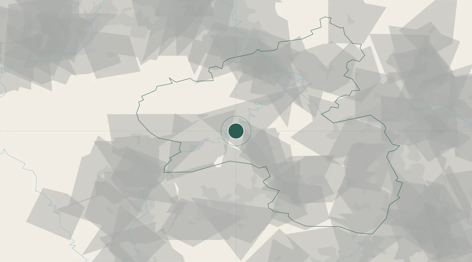
Location
Nearby Logistics Neighbours
Cities
- 1Lieser2 km
- 2Minheim6 km
- 3Platten6 km
- 4Piesport6 km
- 5Neumagen-Dhron10 km
Airports
- 1Frankfurt-Hahn Airport19 km
- 2Spangdahlem Air Base23 km
- 3Büchel Air Base31 km
- 4Luxembourg-Findel International Airport64 km
- 5Ramstein Air Base67 km
Trade Zones
- 1Luxembourg Free Port63 km
- 2ZFU La Cité Behren-lès-Forbach82 km
- 3ZFU Woippy-Metz104 km
- 4ZFU Metz107 km
- 5Rheinische Revier SWZ121 km
DatabookThe Record of Consolidated Knowledge
Germany beyond logistics?