Transport Functions
Port
Multimodal
Hub Profile
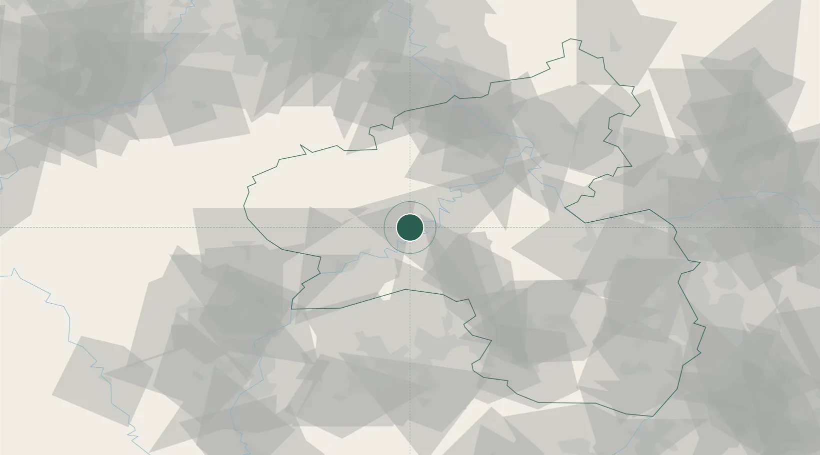
Place type
Local administrative seat
Region
Rheinland-Pfalz
Population
894
Time zone
Europe/Berlin
Elevation
134 m
Location
Nearby Logistics Neighbours
Cities
- 1Lieser5 km
- 2Mülheim6 km
- 3Kinderbeuern7 km
- 4Wittlich7 km
- 5Flussbach8 km
Airports
- 1Spangdahlem Air Base19 km
- 2Frankfurt-Hahn Airport21 km
- 3Büchel Air Base26 km
- 4Luxembourg-Findel International Airport65 km
- 5Ramstein Air Base73 km
Trade Zones
- 1Luxembourg Free Port64 km
- 2ZFU La Cité Behren-lès-Forbach87 km
- 3ZFU Woippy-Metz107 km
- 4ZFU Metz111 km
- 5Rheinische Revier SWZ115 km
DatabookThe Record of Consolidated Knowledge
Germany beyond logistics?