Transport Functions
Port
Road
Hub Profile
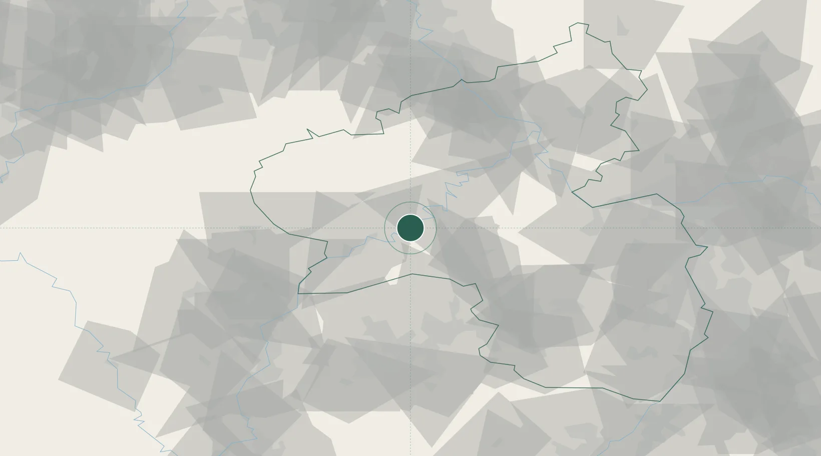
Place type
Local administrative seat
Region
Rheinland-Pfalz
Population
521
Time zone
Europe/Berlin
Elevation
128 m
Location
Nearby Logistics Neighbours
Cities
- 1Piesport2 km
- 2Neumagen-Dhron4 km
- 3Mülheim6 km
- 4Lieser8 km
- 5Salmtal10 km
Airports
- 1Spangdahlem Air Base21 km
- 2Frankfurt-Hahn Airport25 km
- 3Büchel Air Base35 km
- 4Luxembourg-Findel International Airport58 km
- 5Ramstein Air Base68 km
Trade Zones
- 1Luxembourg Free Port57 km
- 2ZFU La Cité Behren-lès-Forbach78 km
- 3ZFU Woippy-Metz98 km
- 4ZFU Metz101 km
- 5Rheinische Revier SWZ122 km
DatabookThe Record of Consolidated Knowledge
Germany beyond logistics?