Transport Functions
Port
Rail
Road
Hub Profile
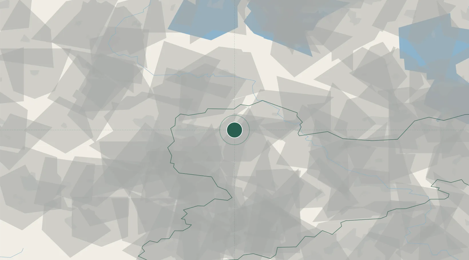
Place type
Local administrative seat
Region
Saxony
Population
3,894
Time zone
Europe/Berlin
Elevation
108 m
Location
Nearby Logistics Neighbours
Cities
- 1Machern8 km
- 2Bennewitz8 km
- 3Wurzen8 km
- 4Hohburg9 km
- 5Gerichshain11 km
Ports
- 1Szczecin255 km
- 2Police270 km
- 3Wismar286 km
- 4Swinoujscie296 km
- 5Rostock299 km
Airports
- 1Leipzig/Halle Airport30 km
- 2Holzdorf Air Base51 km
- 3Leipzig–Altenburg Airport51 km
- 4Zerbst Airfield73 km
- 5Dresden Airport84 km
Trade Zones
DatabookThe Record of Consolidated Knowledge
Germany beyond logistics?