Transport Functions
Road
Multimodal
Hub Profile
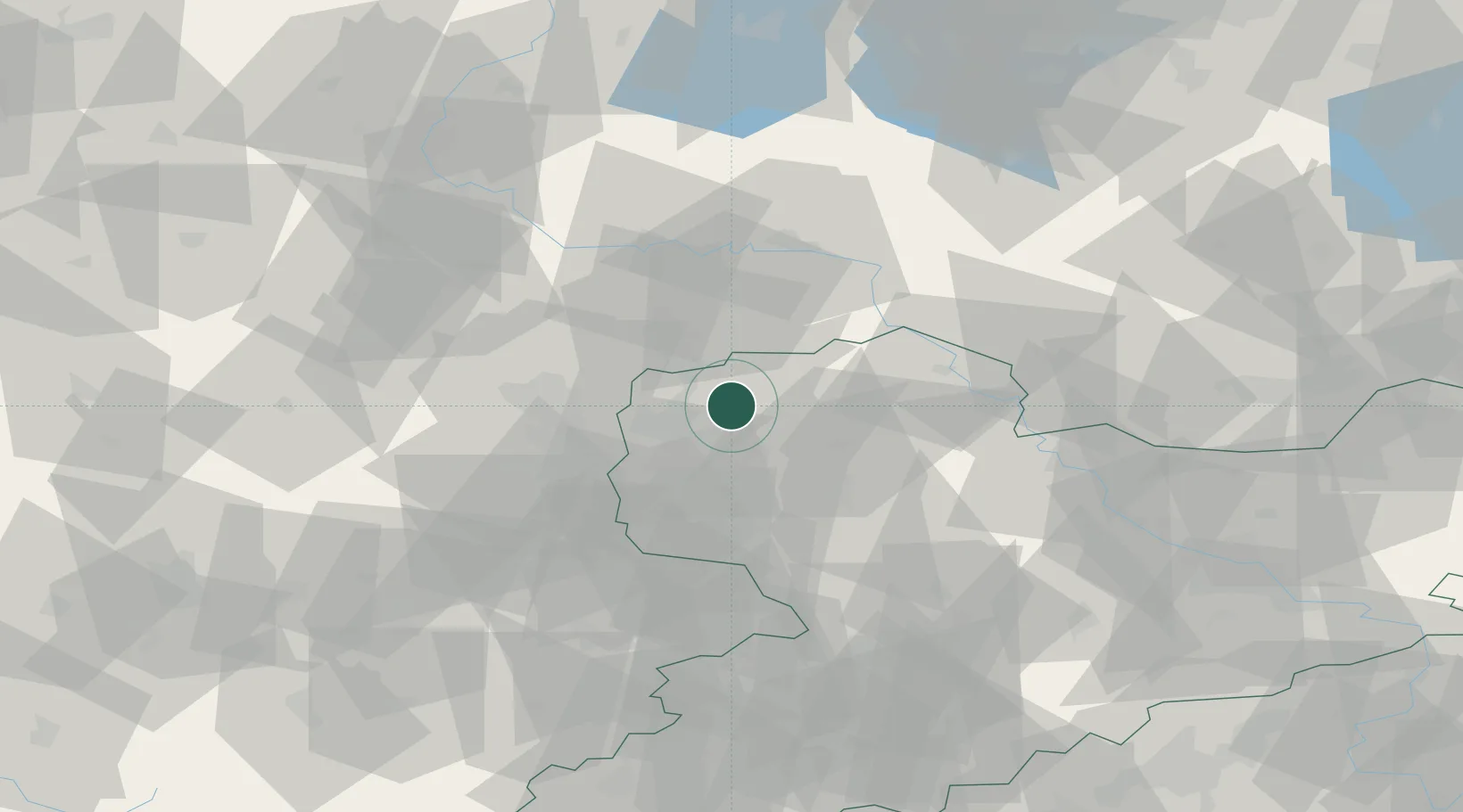
Place type
Local administrative seat
Region
Saxony
Population
4,033
Time zone
Europe/Berlin
Elevation
125 m
Location
Nearby Logistics Neighbours
Airports
- 1Leipzig/Halle Airport16 km
- 2Leipzig–Altenburg Airport54 km
- 3Holzdorf Air Base60 km
- 4Zerbst Airfield63 km
- 5Dresden Airport99 km
Trade Zones
DatabookThe Record of Consolidated Knowledge
Germany beyond logistics?