Transport Functions
Multimodal
Hub Profile
Place type
Local administrative seat
Region
Saxony
Population
3,174
Time zone
Europe/Berlin
Elevation
126 m
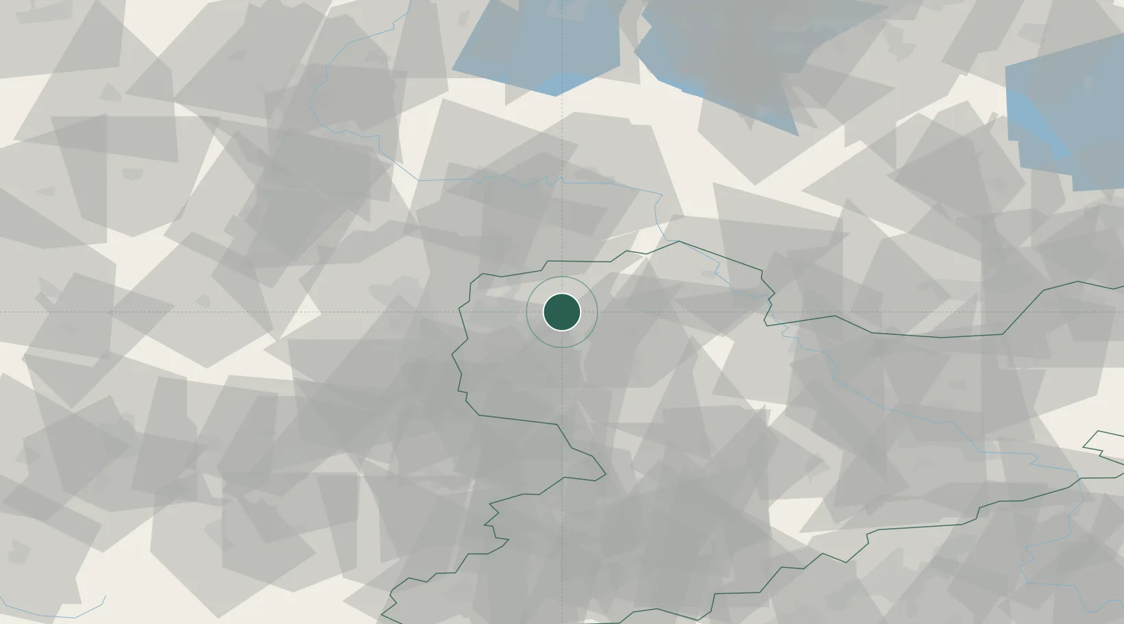
Location
Nearby Logistics Neighbours
Cities
- 1Krostitz5 km
- 2Taucha6 km
- 3Borsdorf10 km
- 4Gerichshain11 km
- 5Thallwitz12 km
Airports
- 1Leipzig/Halle Airport19 km
- 2Leipzig–Altenburg Airport50 km
- 3Holzdorf Air Base59 km
- 4Zerbst Airfield68 km
- 5Dresden Airport94 km
Trade Zones
DatabookThe Record of Consolidated Knowledge
Germany beyond logistics?