Transport Functions
Rail
Road
Hub Profile
Place type
Urban district
Region
Bavaria
Time zone
Europe/Berlin
Elevation
466 m
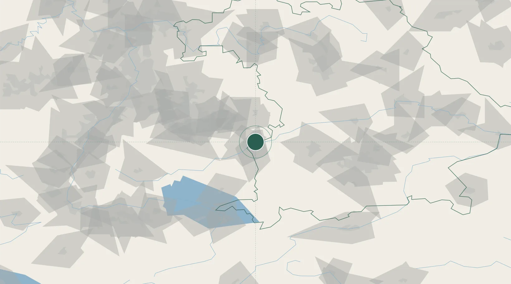
Location
Nearby Logistics Neighbours
Cities
- 1Burlafingen6 km
- 2Rammingen7 km
- 3Ulm9 km
- 4Beimerstetten9 km
- 5Neu Ulm10 km
Ports
- 1Nogaro380 km
- 2Porto Di Lido-Venezia383 km
- 3Grado392 km
- 4Monfalcone396 km
- 5Porto Di Chioggia397 km
Airports
- 1Laupheim Air Base31 km
- 2Memmingen Allgau Airport54 km
- 3Augsburg Airport62 km
- 4Lechfeld Air Base64 km
- 5Stuttgart Airport69 km
Trade Zones
- 1ZFU Neuhof172 km
- 2ZFU Hautepierre178 km
- 3Freeport of Deggendorf210 km
- 4Livigno Free Trade Zone215 km
- 5ZFU Mulhouse220 km
DatabookThe Record of Consolidated Knowledge
Germany beyond logistics?