Transport Functions
Port
Road
Hub Profile
Place type
Populated place
Region
Saxony-Anhalt
Population
215
Time zone
Europe/Berlin
Elevation
44 m
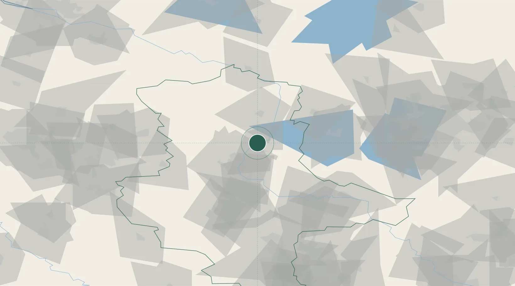
Location
Nearby Logistics Neighbours
Cities
- 1Rogätz6 km
- 2Gusen9 km
- 3Burg bei Magdeburg9 km
- 4Tangerhütte10 km
- 5Loitsche11 km
Ports
- 1Wismar174 km
- 2Hamburg184 km
- 3Lubeck187 km
- 4Lubeck-Travemunde191 km
- 5Rostock196 km
Airports
- 1Zerbst Airfield44 km
- 2Braunschweig-Wolfsburg Airport87 km
- 3Leipzig/Halle Airport107 km
- 4Holzdorf Air Base112 km
- 5Berlin Brandenburg Airport113 km
Trade Zones
DatabookThe Record of Consolidated Knowledge
Germany beyond logistics?