Transport Functions
Rail
Road
Multimodal
Hub Profile
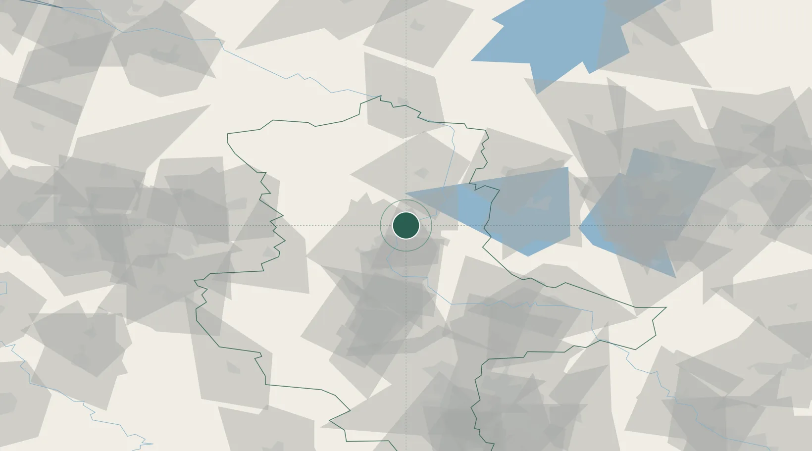
Place type
Local administrative seat
Region
Saxony-Anhalt
Population
2,283
Time zone
Europe/Berlin
Elevation
46 m
Location
Nearby Logistics Neighbours
Cities
- 1Loitsche5 km
- 2Bertingen6 km
- 3Heinrichsberg6 km
- 4Burg bei Magdeburg8 km
- 5Hohenwarthe10 km
Ports
- 1Wismar177 km
- 2Hamburg184 km
- 3Lubeck188 km
- 4Lubeck-Travemunde193 km
- 5Rostock200 km
Airports
- 1Zerbst Airfield44 km
- 2Braunschweig-Wolfsburg Airport82 km
- 3Leipzig/Halle Airport105 km
- 4Holzdorf Air Base114 km
- 5Berlin Brandenburg Airport118 km
Trade Zones
DatabookThe Record of Consolidated Knowledge
Germany beyond logistics?