Transport Functions
Rail
Road
Hub Profile
Place type
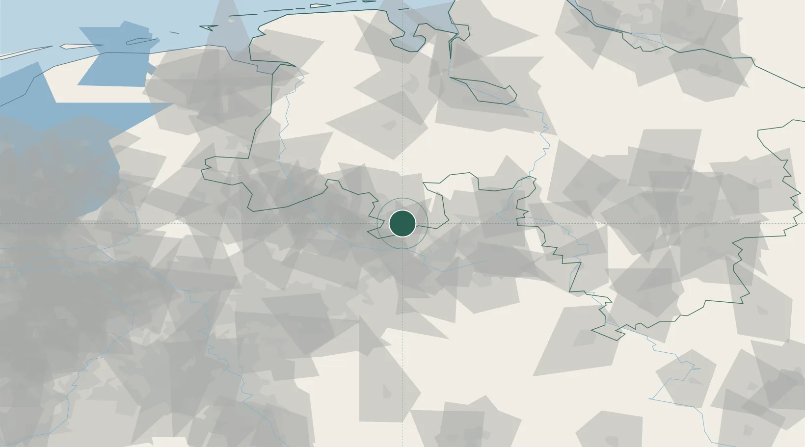
Populated place
Region
Lower Saxony
Population
10,173
Time zone
Europe/Berlin
Elevation
124 m
Location
Nearby Logistics Neighbours
Cities
- 1Bad Iburg7 km
- 2Georgsmarienhütte9 km
- 3Bissendorf9 km
- 4Lienen11 km
- 5Borgholzhausen12 km
Airports
- 1Münster Osnabrück Airport32 km
- 2Bielefeld Airport34 km
- 3Diepholz Air Base50 km
- 4Bückeburg Air Base65 km
- 5Paderborn Lippstadt Airport68 km
Trade Zones
DatabookThe Record of Consolidated Knowledge
Germany beyond logistics?