UN/LOCODE hub · Germany
DENBS

Bissendorf

52.2333°, 8.1667°
14,402
Population
1
Transport functions

Transport Functions

Multimodal
UN/LOCODE

Hub Profile

Place type
Local administrative seat
GeoNames
Region
Lower Saxony
GeoNames
Population
14,402
GeoNames
Time zone
Europe/Berlin
GeoNames
Elevation
89 m
GeoNames

Location

Location of DENBS
Natural Earth 10m (public domain) · Lower Saxony · DENBS · 52.23, 8.17GoogleOSMYandex

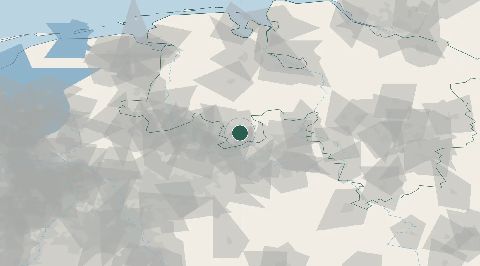
Nearby Logistics Neighbours

Cities
  1. 1Belm8 km
  2. 2Georgsmarienhütte9 km
  3. 3Hilter9 km
  4. 4Freden12 km
  5. 5Bad Iburg12 km
Nearest neighbours — logibook spatial index (haversine) over the source coordinates
Ports
  1. 1Oldenburg98 km
  2. 2Bremen108 km
  3. 3Papenburg110 km
  4. 4Elsfleth113 km
  5. 5Leer121 km
Nearest neighbours — logibook spatial index (haversine) over the source coordinates
Airports
  1. 1Münster Osnabrück Airport34 km
  2. 2Bielefeld Airport40 km
  3. 3Diepholz Air Base41 km
  4. 4Bückeburg Air Base63 km
  5. 5Paderborn Lippstadt Airport76 km
Nearest neighbours — logibook spatial index (haversine) over the source coordinates
Trade Zones
  1. 1Freeport of Bremerhaven (Freihafen Bremerhaven)104 km
  2. 2Freeport of Emden139 km
  3. 3Freeport of Duisburg139 km
  4. 4Freeport of Cuxhaven (Freihafen Cuxhaven)179 km
  5. 5Rheinische Revier SWZ192 km
Nearest neighbours — logibook spatial index (haversine) over the source coordinates
DatabookThe Record of Consolidated Knowledge
Germany beyond logistics?
Browse databook

All Sources

LocationsUN/LOCODE
UN/LOCODE — free
LocationsGeoNames
CC BY 4.0
Portsthe NGA World Port Index
Public domain (US gov)
AirportsOurAirports
Public domain
Trade Zonesthe World Bank SEZ database
CC BY 4.0
Trade ZonesOpen Zone Map
CC BY
← Germany locations