Transport Functions
Rail
Road
Multimodal
Hub Profile
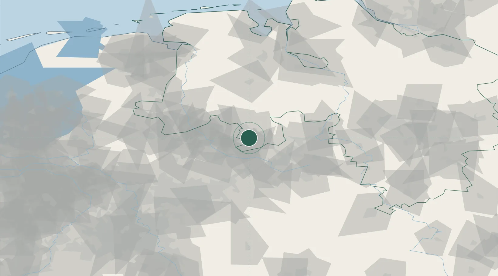
Region
NI
Location
Nearby Logistics Neighbours
Cities
- 1Hagen am Teutoburger Wald5 km
- 2Bad Iburg6 km
- 3Lienen7 km
- 4Bissendorf9 km
- 5Hilter9 km
Airports
- 1Münster Osnabrück Airport26 km
- 2Bielefeld Airport43 km
- 3Diepholz Air Base47 km
- 4Bückeburg Air Base71 km
- 5Paderborn Lippstadt Airport76 km
Trade Zones
DatabookThe Record of Consolidated Knowledge
Germany beyond logistics?