Transport Functions
Road
Multimodal
Hub Profile
Place type
Local administrative seat
Region
Bavaria
Population
985
Time zone
Europe/Berlin
Elevation
627 m
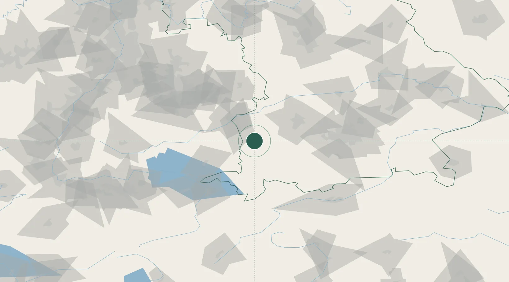
Location
Nearby Logistics Neighbours
Cities
- 1Lauben (Unterallgäu)6 km
- 2Ungerhausen10 km
- 3Niederrieden10 km
- 4Fellheim12 km
- 5Unteropfingen13 km
Ports
- 1Nogaro339 km
- 2Porto Di Lido-Venezia340 km
- 3Grado351 km
- 4Porto Di Chioggia353 km
- 5Monfalcone357 km
Airports
- 1Memmingen Allgau Airport13 km
- 2Laupheim Air Base32 km
- 3Lechfeld Air Base43 km
- 4Augsburg Airport59 km
- 5Mengen-Hohentengen Airfield69 km
Trade Zones
- 1Livigno Free Trade Zone175 km
- 2ZFU Neuhof194 km
- 3ZFU Hautepierre200 km
- 4Freeport of Deggendorf209 km
- 5ZFU Mulhouse224 km
DatabookThe Record of Consolidated Knowledge
Germany beyond logistics?