Transport Functions
Rail
Road
Hub Profile
Region
TH
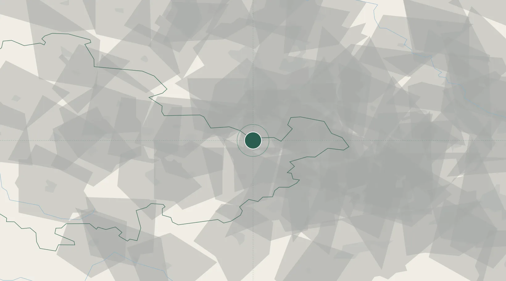
Location
Nearby Logistics Neighbours
Cities
- 1Crossen an der Elster5 km
- 2Kraftsdorf9 km
- 3Heideland11 km
- 4Pölzig13 km
- 5Münchenbernsdorf14 km
Airports
- 1Leipzig–Altenburg Airport35 km
- 2Leipzig/Halle Airport56 km
- 3Hof-Plauen Airport73 km
- 4Erfurt-Weimar Airport74 km
- 5Karlovy Vary Airport103 km
Trade Zones
DatabookThe Record of Consolidated Knowledge
Germany beyond logistics?