Transport Functions
Port
Rail
Road
Hub Profile
Place type
Populated place
Region
Thuringia
Time zone
Europe/Berlin
Elevation
172 m
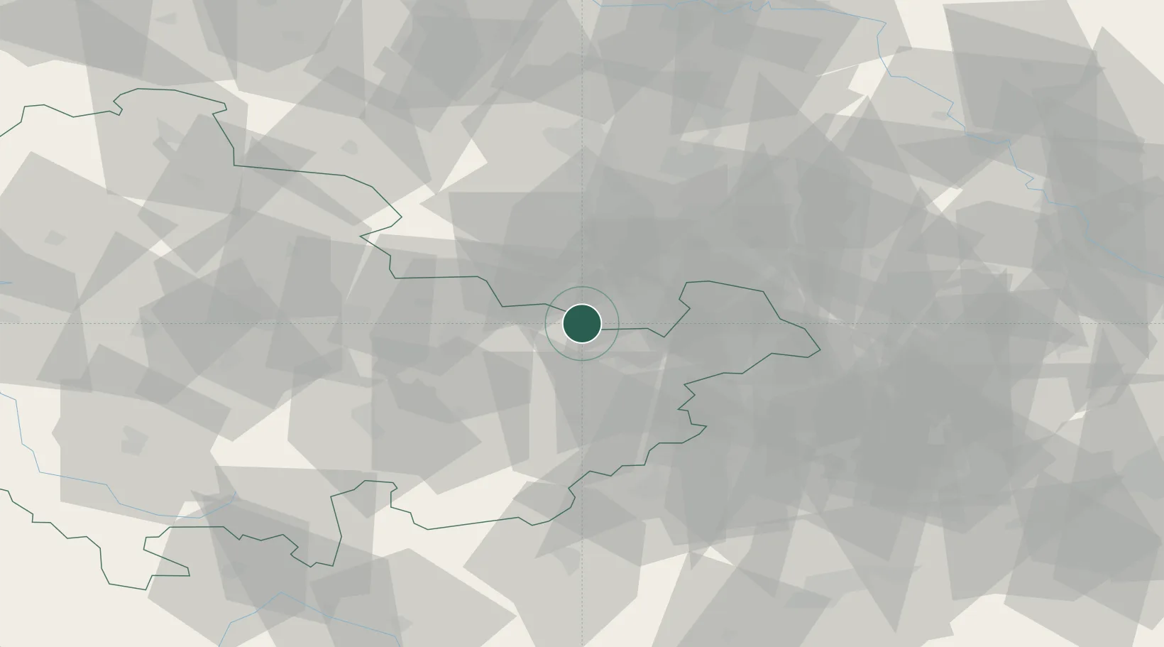
Location
Nearby Logistics Neighbours
Cities
- 1Bad Köstritz5 km
- 2Heideland6 km
- 3Kraftsdorf10 km
- 4Osterfeld11 km
- 5Schkölen13 km
Ports
- 1Hamburg319 km
- 2Bremen325 km
- 3Wismar328 km
- 4Lubeck336 km
- 5Lubeck-Travemunde342 km
Airports
- 1Leipzig–Altenburg Airport38 km
- 2Leipzig/Halle Airport54 km
- 3Erfurt-Weimar Airport70 km
- 4Hof-Plauen Airport76 km
- 5Eisenach-Kindel Airport104 km
Trade Zones
DatabookThe Record of Consolidated Knowledge
Germany beyond logistics?