Transport Functions
Multimodal
Hub Profile
Place type
Local administrative seat
Region
Thuringia
Population
1,395
Time zone
Europe/Berlin
Elevation
285 m
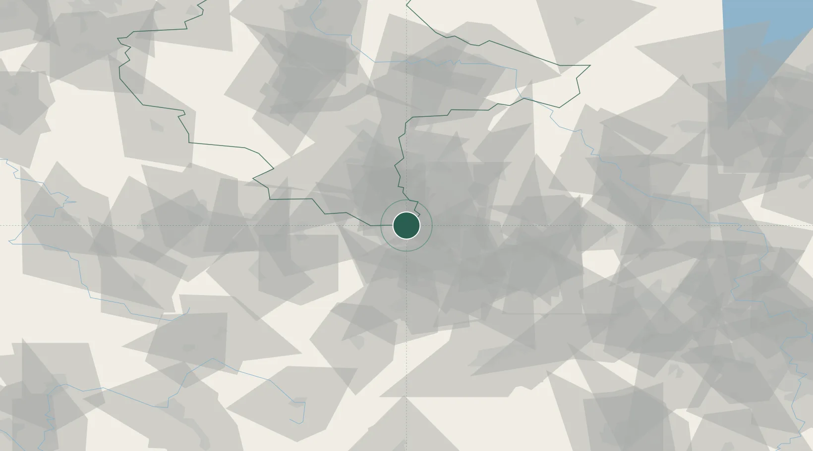
Location
Nearby Logistics Neighbours
Cities
- 1Nöbdenitz11 km
- 2Schmölln13 km
- 3Bad Köstritz13 km
- 4Näthern15 km
- 5Göbitz15 km
Airports
- 1Leipzig–Altenburg Airport22 km
- 2Leipzig/Halle Airport52 km
- 3Hof-Plauen Airport78 km
- 4Erfurt-Weimar Airport87 km
- 5Karlovy Vary Airport97 km
Trade Zones
DatabookThe Record of Consolidated Knowledge
Germany beyond logistics?