Transport Functions
Port
Road
Hub Profile
Region
RP
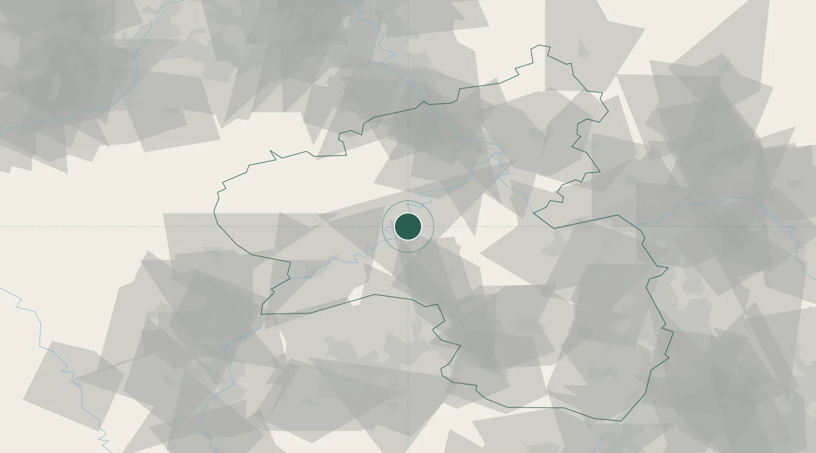
Location
Nearby Logistics Neighbours
Cities
- 1Kaimt5 km
- 2Kinderbeuern7 km
- 3Alf7 km
- 4Lieser10 km
- 5Platten11 km
Airports
- 1Frankfurt-Hahn Airport11 km
- 2Büchel Air Base22 km
- 3Spangdahlem Air Base30 km
- 4Ramstein Air Base70 km
- 5Mainz-Finthen Airfield74 km
Trade Zones
- 1Luxembourg Free Port75 km
- 2ZFU La Cité Behren-lès-Forbach92 km
- 3Rheinische Revier SWZ115 km
- 4ZFU Woippy-Metz116 km
- 5ZFU Metz120 km
DatabookThe Record of Consolidated Knowledge
Germany beyond logistics?