UN/LOCODE hub · Germany
DEAQF

Alf

50.0500°, 7.1167°
923
Population
3
Transport functions

Transport Functions

Port
Rail
Road
UN/LOCODE

Hub Profile

Place type
Local administrative seat
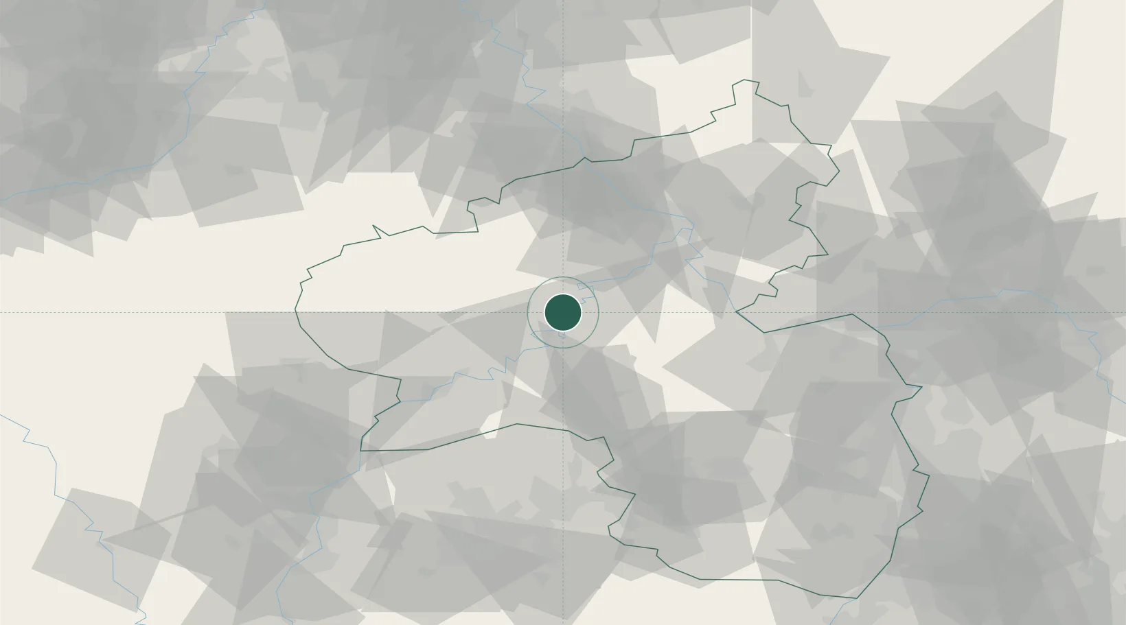
GeoNames
Region
Rheinland-Pfalz
GeoNames
Population
923
GeoNames
Time zone
Europe/Berlin
GeoNames
Elevation
95 m
GeoNames

Location

Location of DEAQF
Natural Earth 10m (public domain) · Rheinland-Pfalz · DEAQF · 50.05, 7.12GoogleOSMYandex

Nearby Logistics Neighbours

Cities
  1. 1Kaimt5 km
  2. 2Neef6 km
  3. 3Senheim7 km
  4. 4Kövenig7 km
  5. 5Kinderbeuern9 km
Nearest neighbours — logibook spatial index (haversine) over the source coordinates
Ports
  1. 1Bruxelles216 km
  2. 2Antwerpen231 km
  3. 3Dordrecht262 km
  4. 4Hansweert269 km
  5. 5Rotterdam276 km
Nearest neighbours — logibook spatial index (haversine) over the source coordinates
Airports
  1. 1Büchel Air Base14 km
  2. 2Frankfurt-Hahn Airport16 km
  3. 3Spangdahlem Air Base31 km
  4. 4Mainz-Finthen Airfield74 km
  5. 5Ramstein Air Base77 km
Nearest neighbours — logibook spatial index (haversine) over the source coordinates
Trade Zones
  1. 1Luxembourg Free Port79 km
  2. 2ZFU La Cité Behren-lès-Forbach99 km
  3. 3Rheinische Revier SWZ109 km
  4. 4ZFU Woippy-Metz122 km
  5. 5ZFU Metz126 km
Nearest neighbours — logibook spatial index (haversine) over the source coordinates
DatabookThe Record of Consolidated Knowledge
Germany beyond logistics?
Browse databook

All Sources

LocationsUN/LOCODE
UN/LOCODE — free
LocationsGeoNames
CC BY 4.0
Portsthe NGA World Port Index
Public domain (US gov)
AirportsOurAirports
Public domain
Trade Zonesthe World Bank SEZ database
CC BY 4.0
Trade ZonesOpen Zone Map
CC BY
← Germany locations