Transport Functions
Port
Road
Hub Profile
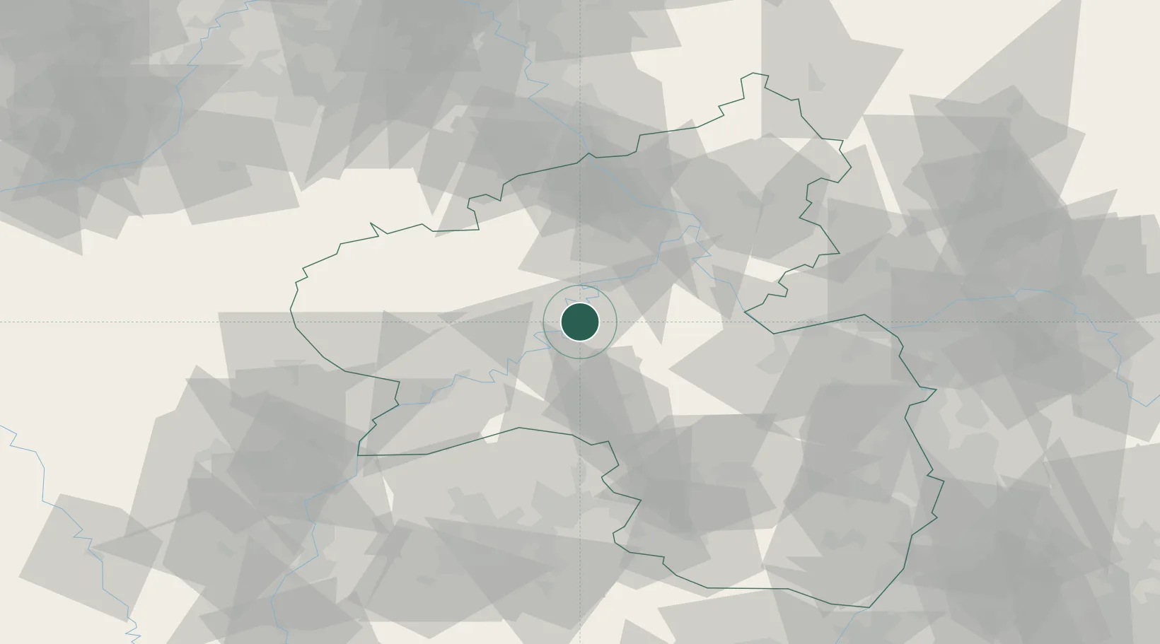
Place type
Populated place
Region
Rheinland-Pfalz
Time zone
Europe/Berlin
Elevation
116 m
Location
Nearby Logistics Neighbours
Cities
- 1Alf5 km
- 2Kövenig5 km
- 3Senheim8 km
- 4Neef10 km
- 5Kinderbeuern11 km
Airports
- 1Frankfurt-Hahn Airport10 km
- 2Büchel Air Base19 km
- 3Spangdahlem Air Base34 km
- 4Mainz-Finthen Airfield70 km
- 5Ramstein Air Base72 km
Trade Zones
- 1Luxembourg Free Port80 km
- 2ZFU La Cité Behren-lès-Forbach96 km
- 3Rheinische Revier SWZ114 km
- 4ZFU Woippy-Metz121 km
- 5ZFU Metz125 km
DatabookThe Record of Consolidated Knowledge
Germany beyond logistics?