Transport Functions
Port
Hub Profile
Place type
Local administrative seat
Region
Brandenburg
Population
910
Time zone
Europe/Berlin
Elevation
22 m
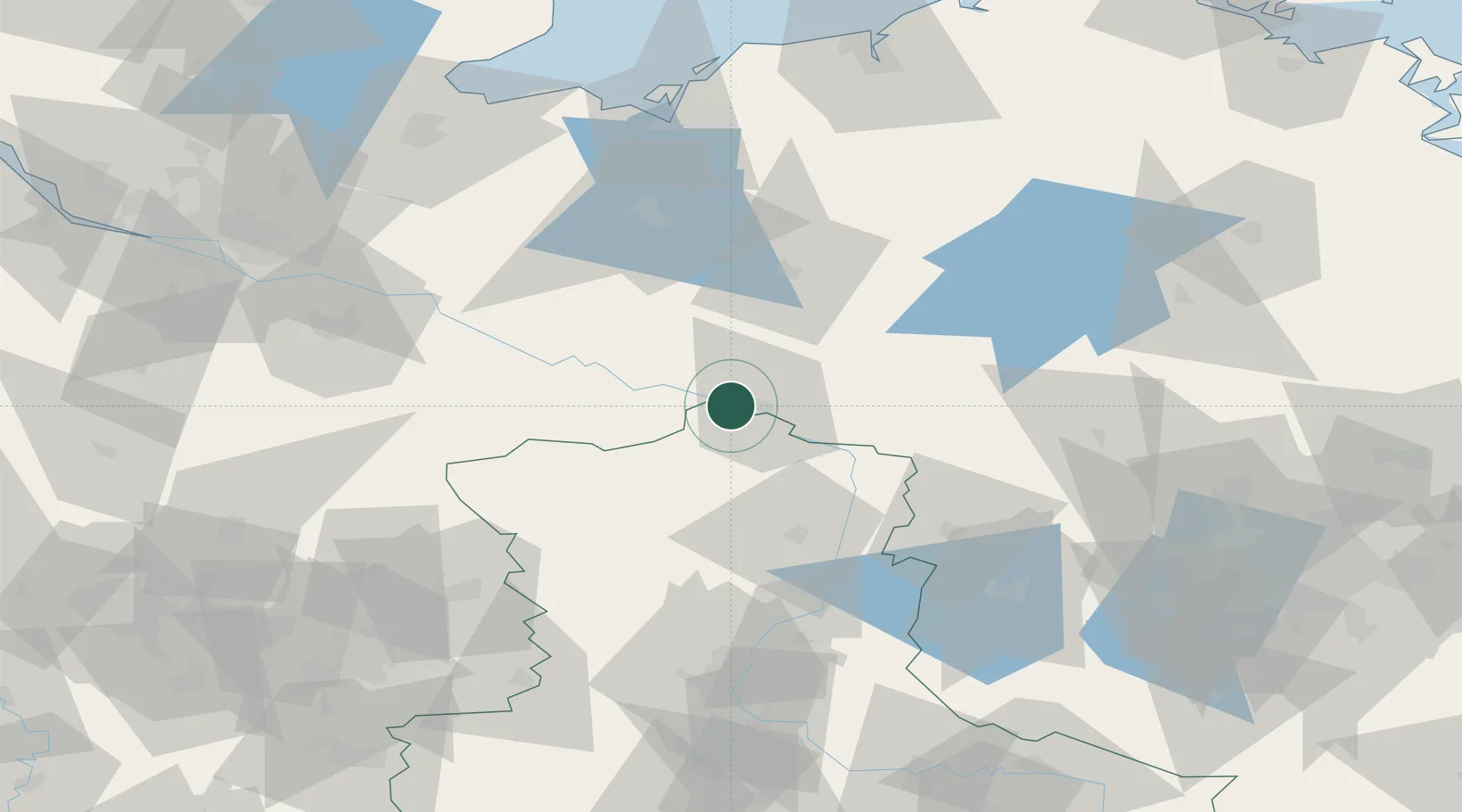
Location
Nearby Logistics Neighbours
Cities
- 1Schnackenburg6 km
- 2Wittenberge7 km
- 3Höhbeck15 km
- 4Karstädt (Prignitz)16 km
- 5Lenzen16 km
Ports
- 1Wismar99 km
- 2Lubeck115 km
- 3Lubeck-Travemunde117 km
- 4Rostock125 km
- 5Hamburg129 km
Airports
- 1Faßberg Air Base99 km
- 2Braunschweig-Wolfsburg Airport107 km
- 3Lübeck Blankensee Airport107 km
- 4Rostock-Laage Airport109 km
- 5Zerbst Airfield118 km
Trade Zones
- 1Freeport of Kiel176 km
- 2Freeport of Bremerhaven (Freihafen Bremerhaven)192 km
- 3Swinoujscie Duty Free Zone199 km
- 4Szczecin Duty Free Zone200 km
- 5Kostrzyń-Słubice SEZ206 km
DatabookThe Record of Consolidated Knowledge
Germany beyond logistics?