Transport Functions
Port
Road
Hub Profile
Place type
Populated place
Region
Lower Saxony
Population
666
Time zone
Europe/Berlin
Elevation
19 m
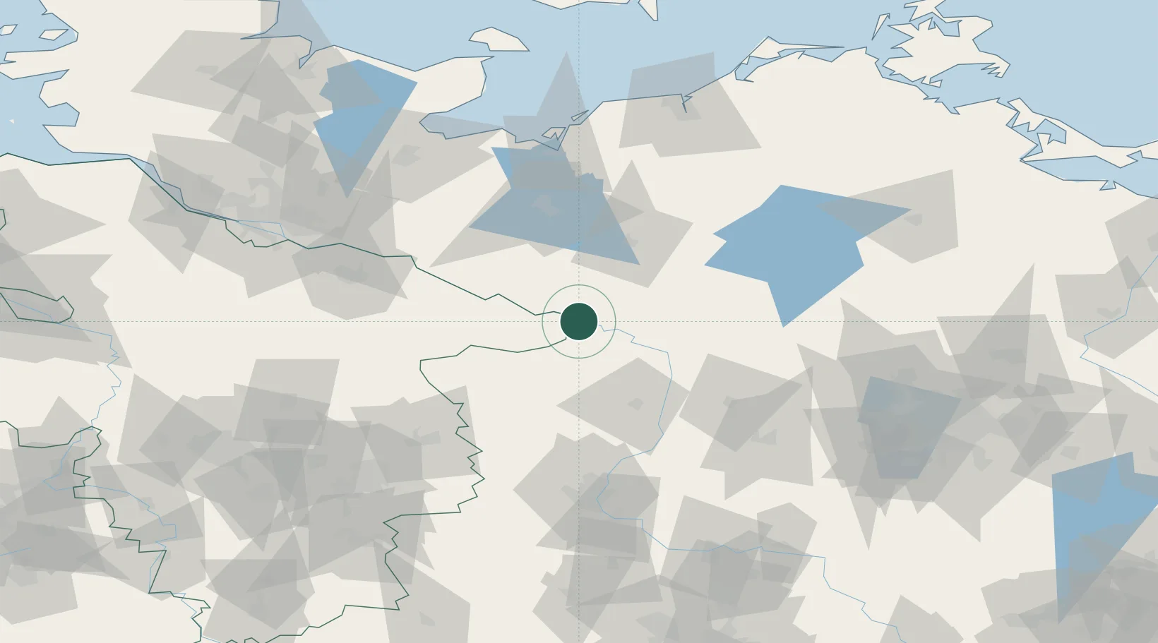
Location
Nearby Logistics Neighbours
Cities
- 1Cumlosen6 km
- 2Höhbeck9 km
- 3Lenzen11 km
- 4Wittenberge12 km
- 5Gorleben14 km
Ports
- 1Wismar97 km
- 2Lubeck111 km
- 3Lubeck-Travemunde113 km
- 4Hamburg123 km
- 5Rostock124 km
Airports
- 1Faßberg Air Base93 km
- 2Lübeck Blankensee Airport103 km
- 3Braunschweig-Wolfsburg Airport105 km
- 4Rostock-Laage Airport109 km
- 5Celle Army Airfield115 km
Trade Zones
- 1Freeport of Kiel171 km
- 2Freeport of Bremerhaven (Freihafen Bremerhaven)187 km
- 3Swinoujscie Duty Free Zone203 km
- 4Szczecin Duty Free Zone205 km
- 5Kostrzyń-Słubice SEZ212 km
DatabookThe Record of Consolidated Knowledge
Germany beyond logistics?