Transport Functions
Port
Rail
Road
Hub Profile
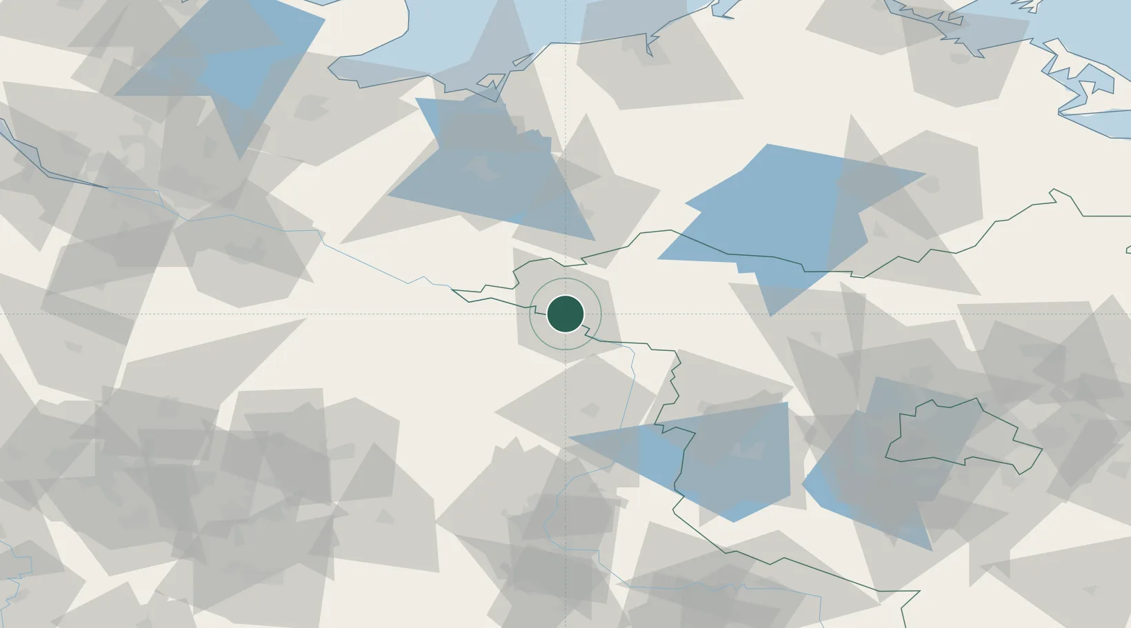
Place type
Local administrative seat
Region
Brandenburg
Population
20,171
Time zone
Europe/Berlin
Elevation
22 m
Location
Nearby Logistics Neighbours
Cities
- 1Cumlosen7 km
- 2Schnackenburg12 km
- 3Karstädt (Prignitz)15 km
- 4Seehausen15 km
- 5Neulingen21 km
Ports
- 1Wismar100 km
- 2Lubeck119 km
- 3Lubeck-Travemunde120 km
- 4Rostock123 km
- 5Hamburg135 km
Airports
- 1Faßberg Air Base105 km
- 2Rostock-Laage Airport106 km
- 3Lübeck Blankensee Airport111 km
- 4Braunschweig-Wolfsburg Airport112 km
- 5Zerbst Airfield116 km
Trade Zones
- 1Freeport of Kiel180 km
- 2Szczecin Duty Free Zone193 km
- 3Swinoujscie Duty Free Zone194 km
- 4Freeport of Bremerhaven (Freihafen Bremerhaven)199 km
- 5Kostrzyń-Słubice SEZ200 km
DatabookThe Record of Consolidated Knowledge
Germany beyond logistics?