Transport Functions
Port
Road
Hub Profile
Place type
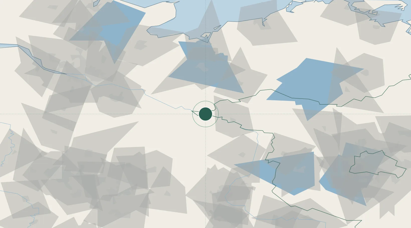
Populated place
Region
Brandenburg
Population
2,664
Time zone
Europe/Berlin
Elevation
21 m
Location
Nearby Logistics Neighbours
Cities
- 1Höhbeck4 km
- 2Gorleben6 km
- 3Schnackenburg11 km
- 4Dömitz13 km
- 5Neu Kaliss14 km
Ports
- 1Wismar91 km
- 2Lubeck101 km
- 3Lubeck-Travemunde105 km
- 4Hamburg112 km
- 5Neustadt120 km
Airports
- 1Faßberg Air Base85 km
- 2Lübeck Blankensee Airport93 km
- 3Braunschweig-Wolfsburg Airport104 km
- 4Rostock-Laage Airport108 km
- 5Celle Army Airfield110 km
Trade Zones
DatabookThe Record of Consolidated Knowledge
Germany beyond logistics?