UN/LOCODE hub · Germany
DEORL

Oberaula

50.8500°, 9.4667°
3,481
Population
2
Transport functions

Transport Functions

Rail
Road
UN/LOCODE

Hub Profile

Place type
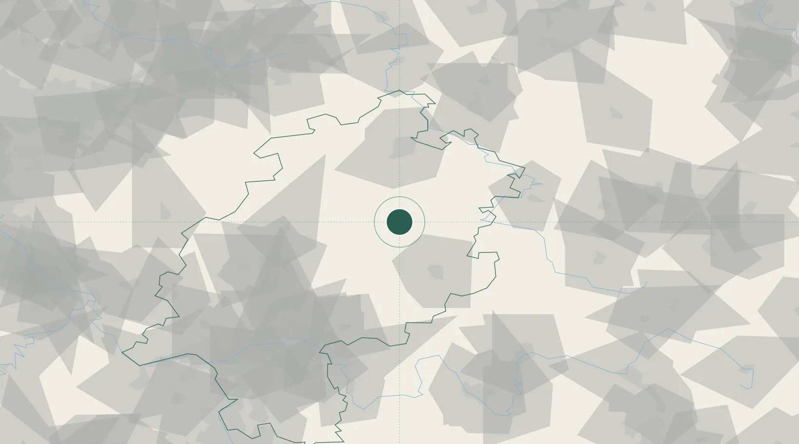
Local administrative seat
GeoNames
Region
Hesse
GeoNames
Population
3,481
GeoNames
Time zone
Europe/Berlin
GeoNames
Elevation
333 m
GeoNames

Location

Location of DEORL
Natural Earth 10m (public domain) · Hesse · DEORL · 50.85, 9.47GoogleOSMYandex

Nearby Logistics Neighbours

Cities
  1. 1Kirchheim7 km
  2. 2Niederaula11 km
  3. 3Grebenau11 km
  4. 4Frielendorf18 km
  5. 5Willingshausen19 km
Nearest neighbours — logibook spatial index (haversine) over the source coordinates
Ports
  1. 1Bremen258 km
  2. 2Oldenburg266 km
  3. 3Elsfleth274 km
  4. 4Brake284 km
  5. 5Papenburg288 km
Nearest neighbours — logibook spatial index (haversine) over the source coordinates
Airports
  1. 1Fritzlar Army Airfield32 km
  2. 2Kassel Airport63 km
  3. 3Eisenach-Kindel Airport73 km
  4. 4Siegerland Airport99 km
  5. 5Paderborn Lippstadt Airport103 km
Nearest neighbours — logibook spatial index (haversine) over the source coordinates
Trade Zones
  1. 1Freeport of Duisburg212 km
  2. 2Rheinische Revier SWZ217 km
  3. 3Freeport of Bremerhaven (Freihafen Bremerhaven)254 km
  4. 4ZFU La Cité Behren-lès-Forbach261 km
  5. 5Luxembourg Free Port267 km
Nearest neighbours — logibook spatial index (haversine) over the source coordinates
DatabookThe Record of Consolidated Knowledge
Germany beyond logistics?
Browse databook

All Sources

LocationsUN/LOCODE
UN/LOCODE — free
LocationsGeoNames
CC BY 4.0
Portsthe NGA World Port Index
Public domain (US gov)
AirportsOurAirports
Public domain
Trade Zonesthe World Bank SEZ database
CC BY 4.0
Trade ZonesOpen Zone Map
CC BY
← Germany locations