Transport Functions
Multimodal
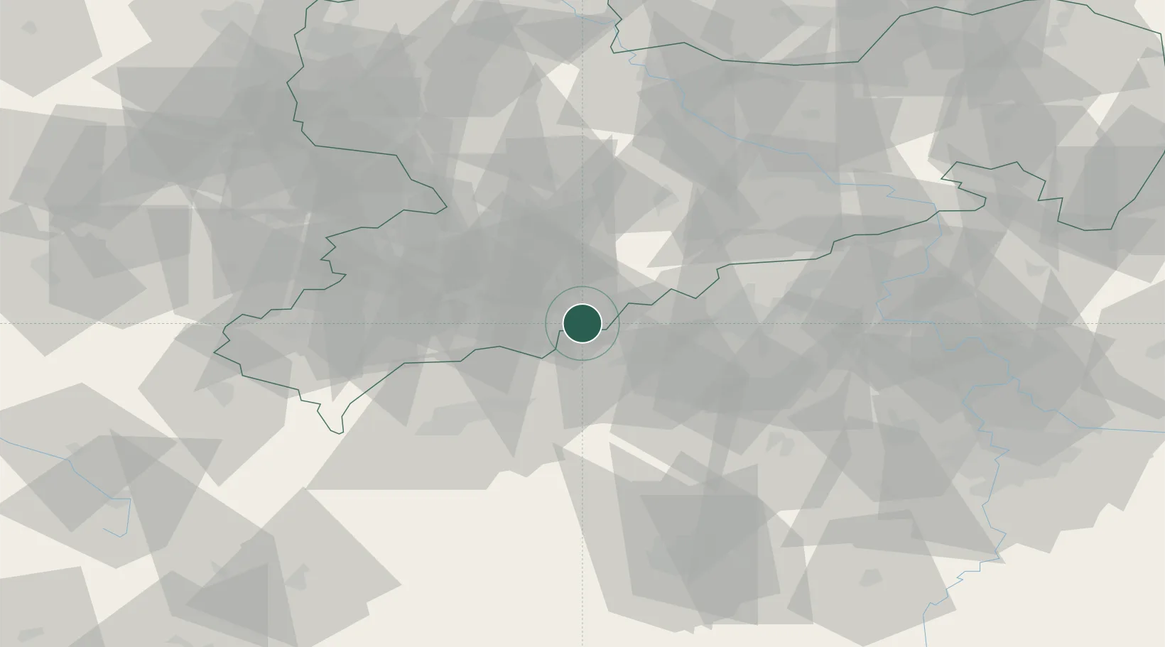
Hub Profile
Region
SN
Location
Nearby Logistics Neighbours
Cities
- 1Königswalde4 km
- 2Hammerunterwiesenthal9 km
- 3Mildenau9 km
- 4Schlettau11 km
- 5Wiesa11 km
Ports
- 1Szczecin338 km
- 2Police354 km
- 3Swinoujscie387 km
- 4Wismar392 km
- 5Wolgast396 km
Airports
- 1Karlovy Vary Airport37 km
- 2Leipzig–Altenburg Airport66 km
- 3Dresden Airport84 km
- 4Hof-Plauen Airport91 km
- 5Plzeň-Líně Airport95 km
Trade Zones
DatabookThe Record of Consolidated Knowledge
Germany beyond logistics?