Transport Functions
Rail
Road
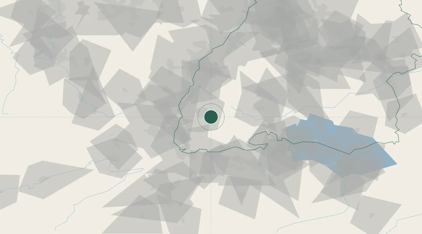
Hub Profile
Place type
Local administrative seat
Region
Baden-Wurttemberg
Population
9,730
Time zone
Europe/Berlin
Elevation
376 m
Location
Nearby Logistics Neighbours
Cities
- 1Buchenbach5 km
- 2Günterstal6 km
- 3Freiburg im Breisgau8 km
- 4Gundelfingen11 km
- 5Wieden16 km
Ports
- 1Genova404 km
- 2Savona408 km
- 3Rada Di Vado413 km
- 4Bruxelles414 km
- 5Chiavari - Lavagna421 km
Airports
- 1Donaueschingen-Villingen Airfield43 km
- 2Lahr Airport46 km
- 3Colmar Houssen airport47 km
- 4EuroAirport Basel–Mulhouse–Freiburg52 km
- 5Strasbourg Airport68 km
Trade Zones
- 1ZFU Mulhouse52 km
- 2ZFU Neuhof65 km
- 3ZFU Hautepierre72 km
- 4ZFU Belfort93 km
- 5ZFU Montbéliard101 km
DatabookThe Record of Consolidated Knowledge
Germany beyond logistics?